Login

Zapomniałeś swój login?

Cookies have to be accepted!
Your browser's cookie functionality is disabled. Please enable this functionality.

Not a member yet?

Register now
Login

Available for registred users only

Log in to use this feature.

Zapomniałeś swój login?

Cookies have to be accepted!
Your browser's cookie functionality is disabled. Please enable this functionality.

Not a member yet?

Register now
Filter
Kategorie
Advanced filters
  • Długość (km)
  • Wysokość
Zapisz filtr Reset filter

TrackRank

QRCode

Technical data

Długość10,4 km Wysokość426 m Way down418 m Czas trwania00:00 h:m Data27.01.2014
Oceny Author Krajobraz Czynnik zadowolenia Kondycja Technika

Statystyka

275 Widoki Oceny 26 Downloads / Pliki do pobrania Przeciętnie
Rate
  • Karta trasy
  • Dojazd
  • Downloads / Pliki do pobrania

Startpunkt der Tour ist ein Parkplatz in der Nähe des Dernbacher Haus. Die Strecke verläuft weitgehend auf gut ausgebauten Forstwirtschaft Wegen und führt zunächst oberhalb der Orte Dernbach und Ramberg. Nach einer Spitzkehre geht es dann parallel zur gegangenen Strecke wieder zurück und hoch zur Burgruine Neuscharfeneck, die auch aufgrund des schönen Ausblicks besucht werden sollte. Von dort geht es anschließend weiter zur Landauer Hütte und Dernbacher Haus, die beide guter Pfälzer Küche an bieten.
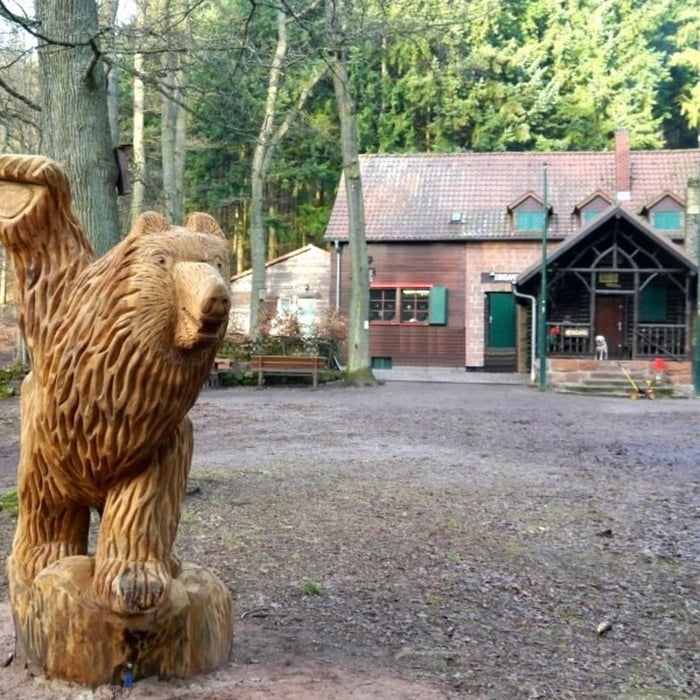
 

Galeria trasy

Mapa trasy i profil wysokości

  • Open Street Map
  • Google
Minimum height 194 m Maximum height 501 m Widok szczegółowy

More about the tour author

isg13
Member since 2010

Send private message

Komentarze

GPS tracks

Trackpoints
  • GPX / Garmin Map Source (gpx) download
  • TCX / Garmin Training Center® (tcx) download
  • CRS / Garmin Training Center® (crs) download
  • Google Earth (kml) download
  • G7ToWin (g7t) download
  • TTQV (trk) download
  • Overlay (ovl) download
  • Fugawi (txt) download
  • Kompass (DAV) Track (tk) download
  • Karta trasy (pdf) download
  • Original file of the author (gpx) download

More about the tour author

isg13
Member since 2010

Send private message
Share track
Add to my favorites
Remove from my favorites
Edit tags
My score
Rate
Trasa: Pfälzer Rundwanderung mit Einkehr - Landauer Hütte
Rodzaj: Wędrówki
Długość: 10,4 km
Evaluated on:
Czas trwania:
Day(s)
Hour(s)
Minute(s)
Ocena: Krajobraz Czynnik zadowolenia Kondycja Technika