
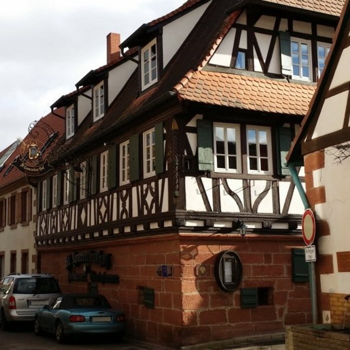

Startpunkt der Tour ist ein Parkplatz vor dem St Laurentiushof. Diese Tour verläuft zur Hälfte auf betonierten/asphaltierten Wegen und auf Forstwegen/Waldpfaden. Über die Weinberge führt die Strecke in südliche Richtung zum Slevogthof und der Burgruine Neukastel, Ransbach wird dabei gestreift. Unterwegs sind sehr schöne Blicke in die Rheinebene, zur Madenburg und Trifels möglich. Weiter Stationen auf dem Weg zurück nach Birkweiler sind die Zollstock-Schutzhütte und ein Baumlehrpfad, eine Reihe von Picknickplätze säumen die Strecke.
Galeria trasy


Mapa trasy i profil wysokości
Minimum height 185 m
Maximum height 464 m
More about the tour author

|
isg13 |
Komentarze

GPS tracks
Trackpoints-
GPX / Garmin Map Source (gpx) download
-
TCX / Garmin Training Center® (tcx) download
-
CRS / Garmin Training Center® (crs) download
-
Google Earth (kml) download
-
G7ToWin (g7t) download
-
TTQV (trk) download
-
Overlay (ovl) download
-
Fugawi (txt) download
-
Kompass (DAV) Track (tk) download
-
Karta trasy (pdf) download
-
Original file of the author (gpx) download
More about the tour author
|
|
isg13 |
Add to my favorites
Remove from my favorites
Edit tags
Open track
My score
Rate