


Von Benediktbeuern nach Kochel a. See
Diese einfache Wanderung durch das Loisach-Kochelsee-Moor beginnt am Bahnhof Benediktbeuern (Strecke München-Tutzing-Kochel). Nach der Besichtigung der barocken Klosteranlage, die auch ein Zentrum für Umwelt und Kultur und die Fraunhofer Glashütte enthält, folgen wir dem Weg an der Bahn entlang, dann bei der Unterführung biegen wir rechts in den Prälatenweg nach Westen ein. Gleich nach der Brücke über den Lainbach gehen wir links, an Brunnbach vorbei, 2 km bis zum Bahndamm , dann rechts diesen folgend bis nach Kochel. Auch im Winter kann man die befestigten Wege gut benutzen.
Vom Bahnhof Kochel sind es noch 15 min zu Fuß zum See. Züge fahren z.Z. stündlich von München nach Kochel und zurück.
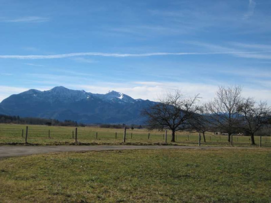
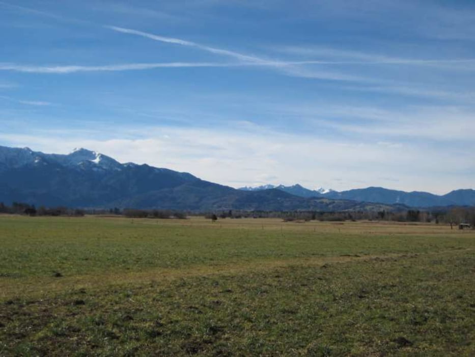
Der Weg ist eben und schattenlos, dafür hat man einen schönen Blick auf die Berge (Benediktenwand, Heimgarten, Herzogstand,...).
Further information at
http://www.benediktbeuern.de/tourismus/natur.htmlGaleria trasy
Mapa trasy i profil wysokości
Minimum height 600 m
Maximum height 633 m
More about the tour author

|
freisnger |
Komentarze

GPS tracks
Trackpoints-
GPX / Garmin Map Source (gpx) download
-
TCX / Garmin Training Center® (tcx) download
-
CRS / Garmin Training Center® (crs) download
-
Google Earth (kml) download
-
G7ToWin (g7t) download
-
TTQV (trk) download
-
Overlay (ovl) download
-
Fugawi (txt) download
-
Kompass (DAV) Track (tk) download
-
Karta trasy (pdf) download
-
Original file of the author (gpx) download
More about the tour author
|
|
freisnger |
Add to my favorites
Remove from my favorites
Edit tags
Open track
My score
Rate