


Dies war meine letzte Feierabendrund bei meinem bisherigen Arbeitgeber. Wir gehen von nun an getrennte Wege und meine Tracks werden sich vermutlich ändern.
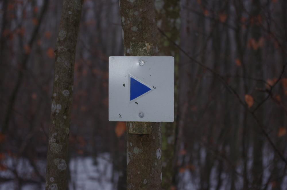
Egal. Diese kleine Waldrunde bei Pflummern führte mich an so manchem Waldarbeiter mit mehr oder weniger schwerem Gerät vorbei.
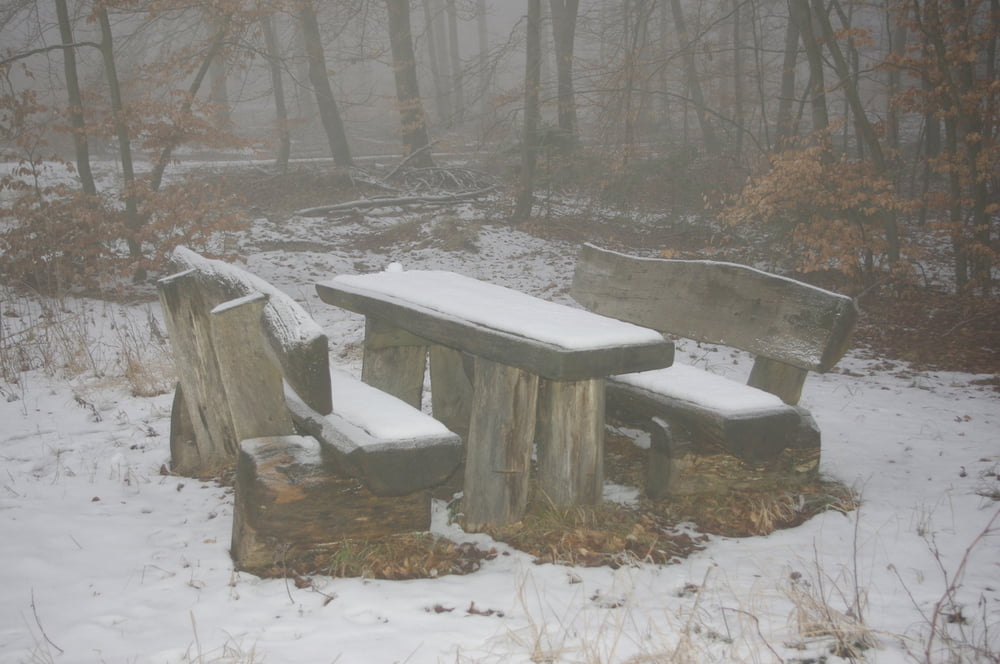
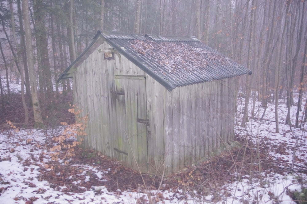
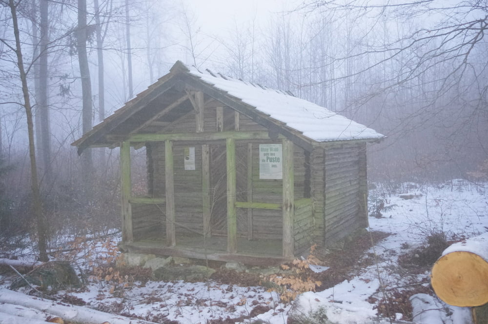
Ausserdem war die Stimmung Peer-Gyntisch in dem nebligen Wetter mit Schnee im Wald.
Ich genoss die Ruhe und wurde mir über meine nächsten Schritte zu meinem Jobwechsel bewusst.
Was gibt es besseres als in Ruhe eine Entscheidung zu treffen und diese dann in die Tat umzusetzen.
Further information at
https://de.wikipedia.org/wiki/K%C3%BCndigung_(Arbeitsrecht)Galeria trasy
Mapa trasy i profil wysokości
Minimum height 674 m
Maximum height 761 m
More about the tour author
|
|
Pheinz |
Komentarze

Parkplatz an der L275
GPS tracks
Trackpoints-
GPX / Garmin Map Source (gpx) download
-
TCX / Garmin Training Center® (tcx) download
-
CRS / Garmin Training Center® (crs) download
-
Google Earth (kml) download
-
G7ToWin (g7t) download
-
TTQV (trk) download
-
Overlay (ovl) download
-
Fugawi (txt) download
-
Kompass (DAV) Track (tk) download
-
Karta trasy (pdf) download
-
Original file of the author (gpx) download
More about the tour author
|
|
Pheinz |
Add to my favorites
Remove from my favorites
Edit tags
Open track
My score
Rate