

4 Männer, Ü 50 und ein Begleitfahrzeug
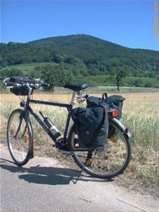
Die jährliche Radtour ging im Jahre 2008 von Zwingenberg/Bergstr. (Südhessen) nach Pierrefonds zur Französichen Partnerstadt.
Von Südhessen ging es westlich durch Rheinland-Pfalz, Saarland, u.a. auch durch Luxemburg und ein paar Meter auch durch Belgien nach Frankreich. Weitere Départements waren Lothringen, Champagne-Ardenne und Seine-Maritime
Der westlichste Punkt war Dieppe am Atlantik. Zurück ging es an der Seine entlang über Nanterre, Paris zum Endziel nach Pierrefonds.
Wir hatten überwiegend wunderbare Radstrecken, aber auch kräftige Regentage.
Further information at
http://www.biketripps.de/Mapa trasy i profil wysokości
Minimum height 6 m
Maximum height 176 m
More about the tour author
|
|
JN |
Komentarze

GPS tracks
Trackpoints-
GPX / Garmin Map Source (gpx) download
-
TCX / Garmin Training Center® (tcx) download
-
CRS / Garmin Training Center® (crs) download
-
Google Earth (kml) download
-
G7ToWin (g7t) download
-
TTQV (trk) download
-
Overlay (ovl) download
-
Fugawi (txt) download
-
Kompass (DAV) Track (tk) download
-
Karta trasy (pdf) download
-
Original file of the author (gpx) download
More about the tour author
|
|
JN |
Add to my favorites
Remove from my favorites
Edit tags
Open track
My score
Rate