


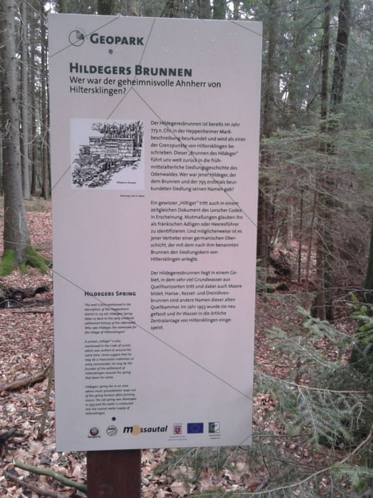
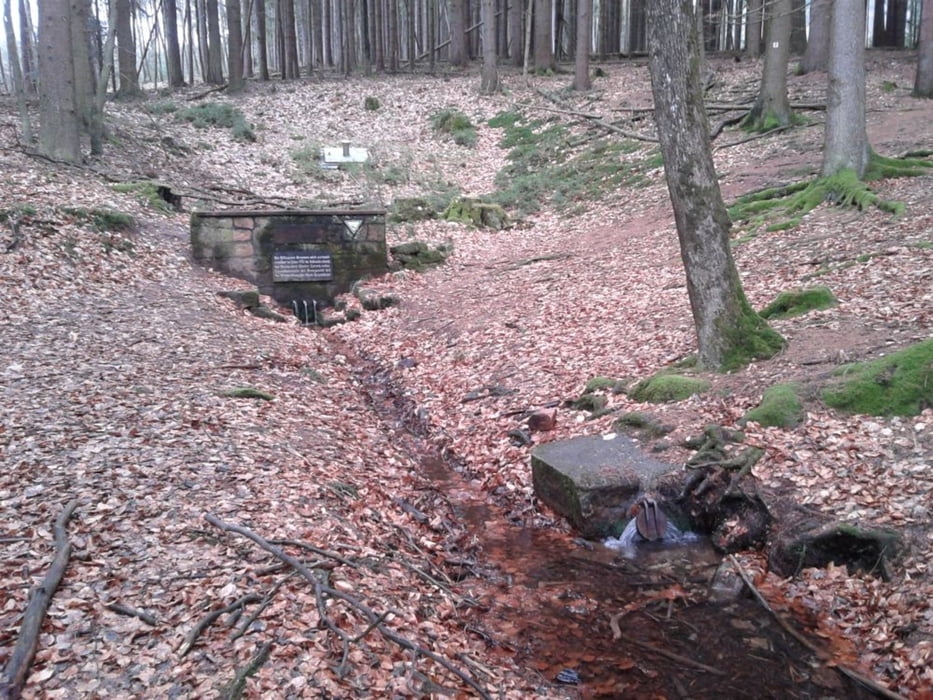
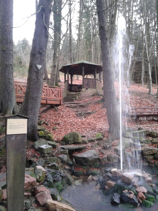
Fahrenbach - Brandschneider Kreuz - Vierwege Stein - Hammelbach - Kalter Brunnen - Grassellenbach - Sägewerk - Hildeger Brunnen - Wegscheid - Walburgis Kapelle - In der Grassbach - Sportplatz Hammelbach - Hammelbach - Brandschneider Kreuz - Fahrenbach
Von Fahrenbach geht es durch den Wald erstmal einige Kilometer auf breiten Forstwegen bergauf. Beim Brandschneider Kreuz hat man die Höhe erreicht. Am Vier Wegestein links auf Asphalt bergab nach Hammelbach. Ab hier beginnt der Rundweg.....
Further information at
http://de.wikipedia.org/wiki/Walburgiskapelle_%28F%C3%BCrth-Weschnitz%29Galeria trasy
Mapa trasy i profil wysokości
Minimum height 181 m
Maximum height 553 m
More about the tour author
|
|
messer1 |
Komentarze

Ausgangspunkt für die Tour ist in Fahrenbach, 2km entfernt von Lörzenbach. Parkplätze beim Sportverein in einer Seitenstraße.
Wer mit der Bahn anreisen will kann dies tun. Von Weinheim nach Fürth und dann in Lörzenbach aussteigen,
Wer ein paar km mehr machen will kann von Weinheim mit dem Rad zum Startpunkt fahren. :-)
GPS tracks
Trackpoints-
GPX / Garmin Map Source (gpx) download
-
TCX / Garmin Training Center® (tcx) download
-
CRS / Garmin Training Center® (crs) download
-
Google Earth (kml) download
-
G7ToWin (g7t) download
-
TTQV (trk) download
-
Overlay (ovl) download
-
Fugawi (txt) download
-
Kompass (DAV) Track (tk) download
-
Karta trasy (pdf) download
-
Original file of the author (gpx) download
More about the tour author
|
|
messer1 |
Add to my favorites
Remove from my favorites
Edit tags
Open track
My score
Rate