


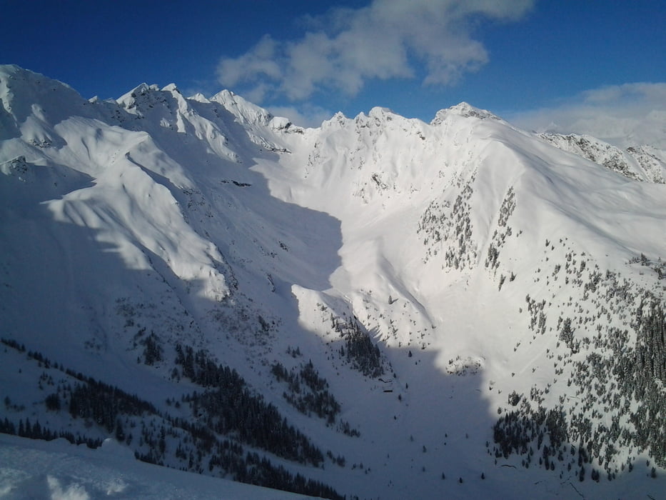
So das ist meine erste Skitour, stand das letzte mal 89´auf den Skiern seitdem nur mit dem Raceboard unterwegs. Nachdem wir 3Tage nur am carven waren haben wir uns in der Talstation Tourenskier ausgeliehen. Aber habs nicht verlernt. Start an der Talstation Ladurns. Immer durch den Wald bergauf erst das letzte Stück geht auf der Piste. Natürlich kann sich der Weg nach Schneefällen immer ein wenig verschieben. Abfahrt auf der Piste
Galeria trasy
Mapa trasy i profil wysokości
Minimum height 1139 m
Maximum height 2099 m
More about the tour author
|
|
corsair |
Komentarze

Hinterm Brenner die erste Ausfahrt nehmen und in Gossensaß rechts ins Pflerschtal.
GPS tracks
Trackpoints-
GPX / Garmin Map Source (gpx) download
-
TCX / Garmin Training Center® (tcx) download
-
CRS / Garmin Training Center® (crs) download
-
Google Earth (kml) download
-
G7ToWin (g7t) download
-
TTQV (trk) download
-
Overlay (ovl) download
-
Fugawi (txt) download
-
Kompass (DAV) Track (tk) download
-
Karta trasy (pdf) download
-
Original file of the author (gpx) download
More about the tour author
|
|
corsair |
Add to my favorites
Remove from my favorites
Edit tags
Open track
My score
Rate