

Anfängertour in Zederhaus
Parken beim "ausgewiesenen Skitourparkplatz" unmittelbar über dem Tunnelportal
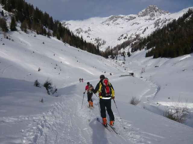
Langer flacher gerader anstieg, bei der 1.grösseren Alm geht es dann rechts hinauf auf die Aingernhöhe
Parken beim "ausgewiesenen Skitourparkplatz" unmittelbar über dem Tunnelportal
Langer flacher gerader anstieg, bei der 1.grösseren Alm geht es dann rechts hinauf auf die Aingernhöhe
Galeria trasy

Mapa trasy i profil wysokości
Minimum height 1342 m
Maximum height 2111 m
More about the tour author

|
mastergraf |
Komentarze

GPS tracks
Trackpoints-
GPX / Garmin Map Source (gpx) download
-
TCX / Garmin Training Center® (tcx) download
-
CRS / Garmin Training Center® (crs) download
-
Google Earth (kml) download
-
G7ToWin (g7t) download
-
TTQV (trk) download
-
Overlay (ovl) download
-
Fugawi (txt) download
-
Kompass (DAV) Track (tk) download
-
Karta trasy (pdf) download
-
Original file of the author (g7t) download
More about the tour author
|
|
mastergraf |
Add to my favorites
Remove from my favorites
Edit tags
Open track
My score
Rate