Login

Zapomniałeś swój login?

Cookies have to be accepted!
Your browser's cookie functionality is disabled. Please enable this functionality.

Not a member yet?

Register now
Login

Available for registred users only

Log in to use this feature.

Zapomniałeś swój login?

Cookies have to be accepted!
Your browser's cookie functionality is disabled. Please enable this functionality.

Not a member yet?

Register now
Filter
Kategorie
Advanced filters
  • Długość (km)
  • Wysokość
Zapisz filtr Reset filter

TrackRank

QRCode

Technical data

Długość22,2 km Wysokość81 m Way down81 m Czas trwania01:19 h:m Data06.03.2014
Oceny Author Krajobraz Czynnik zadowolenia Kondycja Technika

Statystyka

185 Widoki Oceny 5 Downloads / Pliki do pobrania Przeciętnie
Rate
  • Karta trasy
  • Dojazd
  • Downloads / Pliki do pobrania

Radrunde zu meiner Zahnärtztin.

Da fühle ich mich gut aufgehoben. Sie hat meinen Steinbruch in den Griff bekommen.

Leute sagt Euren Kindern dass sie sich die Zähne putzen sollen. Der Mund ist keine Mountainbike Strecke.
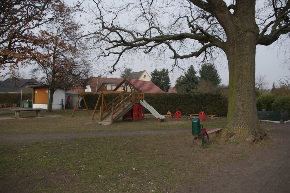
Am Weg lagen der

 Heinrich-Laehr-Park, der Schweitzerhofpark und der Schönower Park.

Schönes schwermütiges Denkmal.


Further information at

https://de.wikipedia.org/wiki/Berlin-Zehlendorf

Galeria trasy

Mapa trasy i profil wysokości

  • Open Street Map
  • Google
Minimum height 33 m Maximum height 57 m Widok szczegółowy

More about the tour author

Pheinz
Member since 2009

Send private message

Komentarze

Einfach losfahren.

GPS tracks

Trackpoints
  • GPX / Garmin Map Source (gpx) download
  • TCX / Garmin Training Center® (tcx) download
  • CRS / Garmin Training Center® (crs) download
  • Google Earth (kml) download
  • G7ToWin (g7t) download
  • TTQV (trk) download
  • Overlay (ovl) download
  • Fugawi (txt) download
  • Kompass (DAV) Track (tk) download
  • Karta trasy (pdf) download
  • Original file of the author (gpx) download

More about the tour author

Pheinz
Member since 2009

Send private message
Share track
Add to my favorites
Remove from my favorites
Edit tags
My score
Rate
Trasa: Zu Frau Dr. Pollesche
Rodzaj: Trasy rowerowe
Długość: 22,2 km
Evaluated on:
Czas trwania:
Day(s)
Hour(s)
Minute(s)
Ocena: Krajobraz Czynnik zadowolenia Kondycja Technika