Login

Zapomniałeś swój login?

Cookies have to be accepted!
Your browser's cookie functionality is disabled. Please enable this functionality.

Not a member yet?

Register now
Login

Available for registred users only

Log in to use this feature.

Zapomniałeś swój login?

Cookies have to be accepted!
Your browser's cookie functionality is disabled. Please enable this functionality.

Not a member yet?

Register now
Filter
Kategorie
Advanced filters
  • Długość (km)
  • Wysokość
Zapisz filtr Reset filter

TrackRank

QRCode

Technical data

Długość59,3 km Wysokość346 m Way down333 m Czas trwania04:00 h:m Data09.03.2014
Oceny Author Krajobraz Czynnik zadowolenia Kondycja Technika

Statystyka

206 Widoki Oceny 30 Downloads / Pliki do pobrania Przeciętnie
Rate
  • Karta trasy
  • Dojazd
  • Downloads / Pliki do pobrania

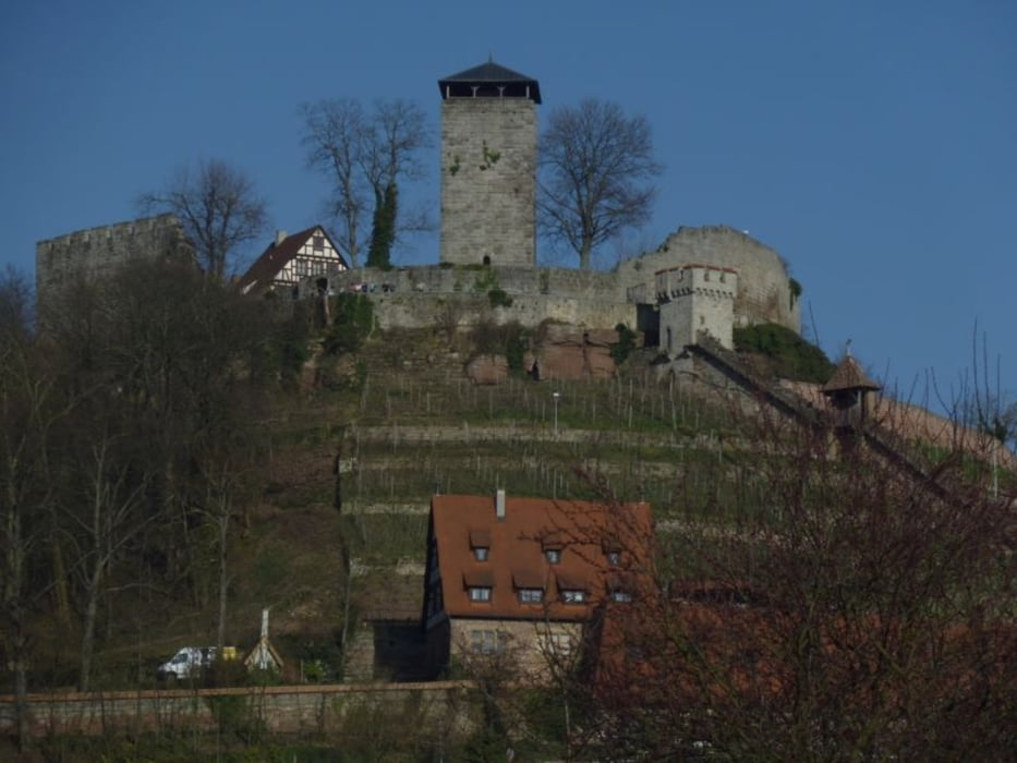
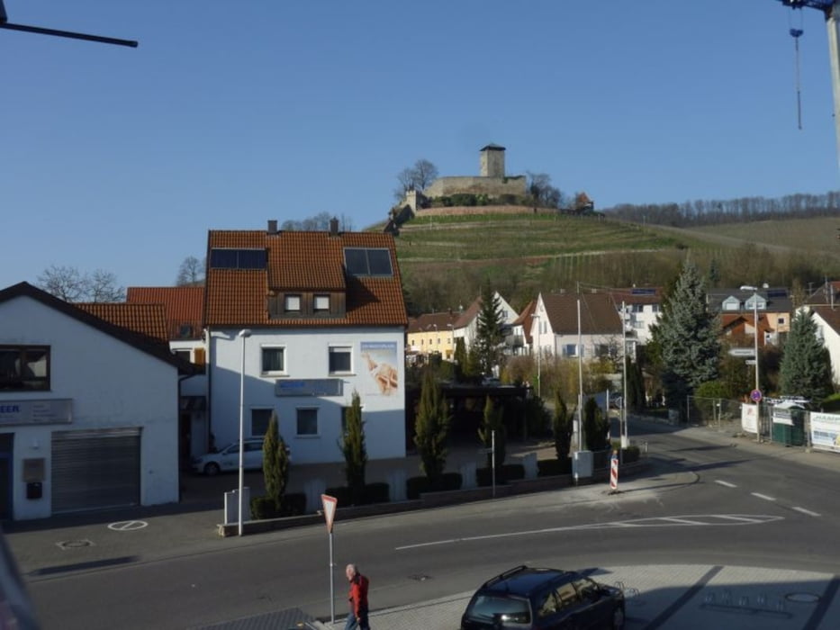
Landschaftliche schöne Strecke am Neckar  bis Laufen und dann über Beilstein wieder zurück,

Wer sich ausruhen will kann ja in dem netten Hüttchen vor Mundelsheim ein Zimmer buchen.

Tipp in Beilstein Am Aldi gerade weiterfahren ca. 100m dort ist ein sehr schönes neu eröffnetes Caffe.

Die Tour führt fast nur über gut befestigte Wege

Galeria trasy

Mapa trasy i profil wysokości

  • Open Street Map
  • Google
Minimum height 159 m Maximum height 294 m Widok szczegółowy

More about the tour author

eugenb
Member since 2009

Send private message

Komentarze

In Steinheim an der Murr am Parkplatz hiner dem Rathaus


GPS tracks

Trackpoints
  • GPX / Garmin Map Source (gpx) download
  • TCX / Garmin Training Center® (tcx) download
  • CRS / Garmin Training Center® (crs) download
  • Google Earth (kml) download
  • G7ToWin (g7t) download
  • TTQV (trk) download
  • Overlay (ovl) download
  • Fugawi (txt) download
  • Kompass (DAV) Track (tk) download
  • Karta trasy (pdf) download
  • Original file of the author (gpx) download

More about the tour author

eugenb
Member since 2009

Send private message
Share track
Add to my favorites
Remove from my favorites
Edit tags
My score
Rate
Trasa: Steinheim-Laufen-Großbottwar
Rodzaj: Trasy rowerowe
Długość: 59,3 km
Evaluated on:
Czas trwania:
Day(s)
Hour(s)
Minute(s)
Ocena: Krajobraz Czynnik zadowolenia Kondycja Technika