Login

Zapomniałeś swój login?

Cookies have to be accepted!
Your browser's cookie functionality is disabled. Please enable this functionality.

Not a member yet?

Register now
Login

Available for registred users only

Log in to use this feature.

Zapomniałeś swój login?

Cookies have to be accepted!
Your browser's cookie functionality is disabled. Please enable this functionality.

Not a member yet?

Register now
Filter
Kategorie
Advanced filters
  • Długość (km)
  • Wysokość
Zapisz filtr Reset filter

TrackRank

QRCode

Technical data

Długość17,0 km Wysokość322 m Way down365 m Czas trwania00:00 h:m Data13.03.2014
Oceny Author Krajobraz Czynnik zadowolenia Kondycja Technika

Statystyka

174 Widoki Oceny 8 Downloads / Pliki do pobrania Przeciętnie
Rate
  • Karta trasy
  • Dojazd
  • Downloads / Pliki do pobrania
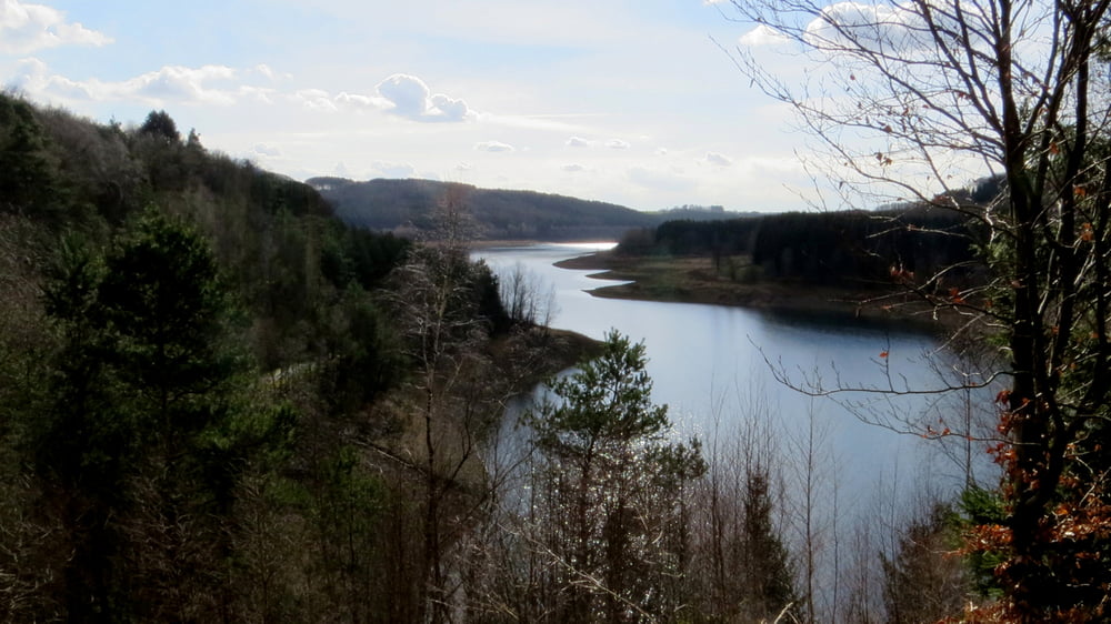
Von der Ketzbergerhöhe bis zum Wanderparkplatz Neumühle. Sehr abwechslungsreiche Tour mit tollen Aussichten. Hol- und Bringdienst oder zwei PKW erforderlich. Nähere Infos s. Link zur HP

Further information at

http://www.sudowe.eu/index.php/renate-s-blog/berichte-2014/101-talsperrenweg-etappe-2

Galeria trasy

Mapa trasy i profil wysokości

  • Open Street Map
  • Google
Minimum height 161 m Maximum height 273 m Widok szczegółowy

More about the tour author

Renatelev
Member since 2012

Send private message

Komentarze

Adresse fürs Navi Ketzbergerhöhe 8, 42929 Wermelskirchen hier steht der Hindenburgturm

GPS tracks

Trackpoints
  • GPX / Garmin Map Source (gpx) download
  • TCX / Garmin Training Center® (tcx) download
  • CRS / Garmin Training Center® (crs) download
  • Google Earth (kml) download
  • G7ToWin (g7t) download
  • TTQV (trk) download
  • Overlay (ovl) download
  • Fugawi (txt) download
  • Kompass (DAV) Track (tk) download
  • Karta trasy (pdf) download
  • Original file of the author (gpx) download

More about the tour author

Renatelev
Member since 2012

Send private message
Share track
Add to my favorites
Remove from my favorites
Edit tags
My score
Rate
Trasa: In drei Tagen um die Dhünntalsperre 2. Etappe
Rodzaj: Wędrówki
Długość: 17,0 km
Evaluated on:
Czas trwania:
Day(s)
Hour(s)
Minute(s)
Ocena: Krajobraz Czynnik zadowolenia Kondycja Technika