


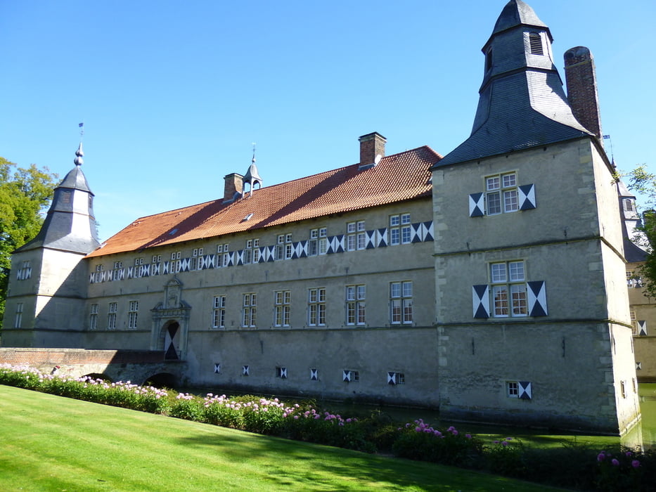
Wir fahren 76 Km auf einem Teil der 100 Schlösser Route. Startpunkt ist der Parkplatz am Natur und Solebad Werne. Wir fahren abseits überlaufener Stecken entlang landwirtschaftlicher Wege und Strassen. Nur selten folgen wir Bundesstrassen. Die Höhepunkte sind natürlich die drei Schlösser entlang der Strecke. (Schloss Cappenberg - Wasserschloss Norkdkirchen - Schloss Westerwinkel) Planen Sie also auch etwas Zeit zum verweilen ein. Bei gutem Wetter können Sie am Wasserschloss Nordkirchen Schwäne füttern und gleichzeitig Brautpaare bei der Fotosession beobachten.
Further information at
http://www.natur-solebad-werne.de/index.php?id=65Galeria trasy


Mapa trasy i profil wysokości
Minimum height 54 m
Maximum height 111 m
More about the tour author

|
joe1848 |
Komentarze

http://www.natur-solebad-werne.de/index.php?id=65
GPS tracks
Trackpoints-
GPX / Garmin Map Source (gpx) download
-
TCX / Garmin Training Center® (tcx) download
-
CRS / Garmin Training Center® (crs) download
-
Google Earth (kml) download
-
G7ToWin (g7t) download
-
TTQV (trk) download
-
Overlay (ovl) download
-
Fugawi (txt) download
-
Kompass (DAV) Track (tk) download
-
Karta trasy (pdf) download
-
Original file of the author (gpx) download
More about the tour author
|
|
joe1848 |
Add to my favorites
Remove from my favorites
Edit tags
Open track
My score
Rate