


Vom Parkplatz der Talstation folgt man dem Tellerlift hinauf bis zum Waldrand. Hier meist entlang des Sommerweges auf Forststraßen aufwärts. Vor der Seltschacher Alm scharf nach rechts und in westlicher Richtung die Skipiste hinauf zum Gipfelkreuz.
Der Abstieg zuerst nach Norden hinunter und dann auf der Forststraße abwärts ins Tal. Am Waldrand trifft man auf die Langlaufspur. Dieser am besten zurück zum Ausgangspunkt folgen.
Further information at
http://www.3laendereck.at/Galeria trasy
Mapa trasy i profil wysokości
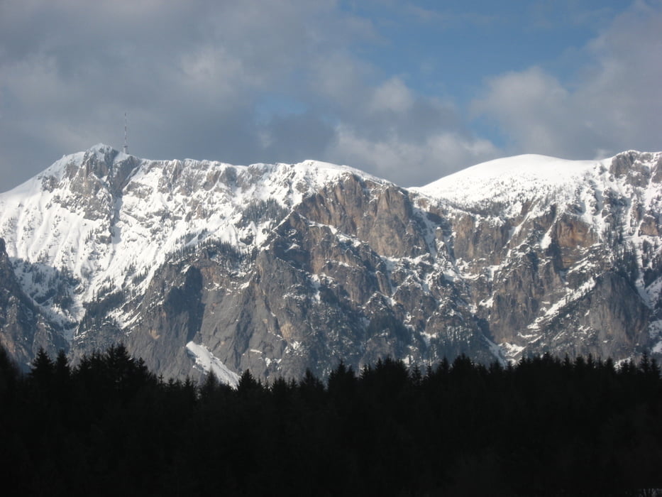
Minimum height 686 m
Maximum height 1513 m
More about the tour author

|
JoHangler |
Komentarze

Auf der A2 Richtung Italien. Abfahrt Arnoldstein. Von dort hinauf nach Seltschach.
GPS tracks
Trackpoints-
GPX / Garmin Map Source (gpx) download
-
TCX / Garmin Training Center® (tcx) download
-
CRS / Garmin Training Center® (crs) download
-
Google Earth (kml) download
-
G7ToWin (g7t) download
-
TTQV (trk) download
-
Overlay (ovl) download
-
Fugawi (txt) download
-
Kompass (DAV) Track (tk) download
-
Karta trasy (pdf) download
-
Original file of the author (gpx) download
More about the tour author
|
|
JoHangler |
Add to my favorites
Remove from my favorites
Edit tags
Open track
My score
Rate