


Die Tour beginnt auf der Höhe in Rui Vaz. Wer möchte, kann jedoch auch die landwirtschaftliche Versuchsstation in Sao Jorge dos Orgaos als Ausgangspunkt nehmen und sich damit die Bergfahrt sparen. Da es ein Rundkurs ist, ändert sich an der Strecke nichts.
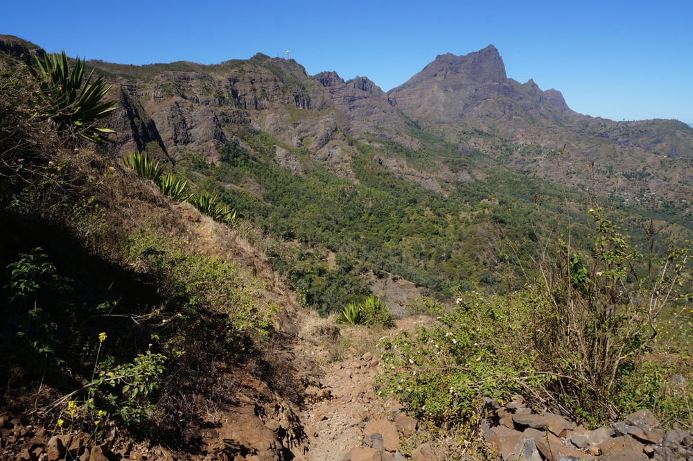
Bitte beachten: Die meisten Pfade haben als Gütesiegel "Gemse". Festes Schuhwerk und Trittsicherheit sind unbedingte Voraussetzung für die Tour, auch wenn einen die lokalen Kinder in ihren Flipflops immer wieder verblüffen.
Galeria trasy


Mapa trasy i profil wysokości
Minimum height 315 m
Maximum height 818 m
More about the tour author
|
|
aussie1248 |
Komentarze

Parkplatz an der Kirche von Rui Vaz.
Dazu von Praia kommend in Sao Domingos kurz vor dem Ende des Ortszentrums von der Hauptstraße nach links auf die Pflasterstraße nach Rui Vaz abbiegen.
Koordinaten des Startpunktes für's Navi:
N 15°02.085' W 23°36.062'
GPS tracks
Trackpoints-
GPX / Garmin Map Source (gpx) download
-
TCX / Garmin Training Center® (tcx) download
-
CRS / Garmin Training Center® (crs) download
-
Google Earth (kml) download
-
G7ToWin (g7t) download
-
TTQV (trk) download
-
Overlay (ovl) download
-
Fugawi (txt) download
-
Kompass (DAV) Track (tk) download
-
Karta trasy (pdf) download
-
Original file of the author (gpx) download
More about the tour author
|
|
aussie1248 |
Add to my favorites
Remove from my favorites
Edit tags
Open track
My score
Rate