


Eine wirklich schöne Tour für ambitionierte Amateure durch den Pfälzer Wald. Hier aus Zeitgründen nur die wichtigsten Stationen:
Dörrenbach - Bad Bergzabern - Pleisweiler-Oberhofen - Gleiszellen - Klingenmünster - Eschbach - Parkplatz Madenburg - Trifels - Kletter-Hütte mit Einkehr - Annweiler - vorbei an der Trifelsruhe - Wernersberg - Völkersweiler - Gossersweiler - Stein - Silz - Wild- und Wanderpark - Altes Landlöchl - Birkenhördt - Bad Bergzabern - Dörrenbach.
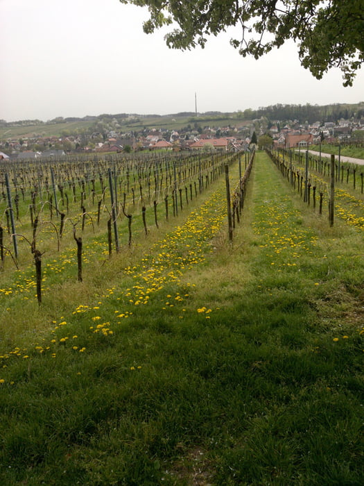
Galeria trasy
Mapa trasy i profil wysokości
Minimum height 169 m
Maximum height 411 m
More about the tour author

|
wosob |
Komentarze

Bad Bergzabern - Dörrenbach - Parkplatz am Rathaus
GPS tracks
Trackpoints-
GPX / Garmin Map Source (gpx) download
-
TCX / Garmin Training Center® (tcx) download
-
CRS / Garmin Training Center® (crs) download
-
Google Earth (kml) download
-
G7ToWin (g7t) download
-
TTQV (trk) download
-
Overlay (ovl) download
-
Fugawi (txt) download
-
Kompass (DAV) Track (tk) download
-
Karta trasy (pdf) download
-
Original file of the author (gpx) download
More about the tour author
|
|
wosob |
Add to my favorites
Remove from my favorites
Edit tags
Open track
My score
Rate