

- Im Uhrzeigersinn
- Start/Ziel: Marling Dorfzentrum
- Von Marling auf der Panoramastrasse nach Algund. Von dort auf dem Vinschgauer Radweg Richtung Vinschgau. Weiter auf der kaum befahrenen Strasse nach Vellau, oberhalb von Algund. Von Vellau zur Leiteralm(1.550 MH.) auf geteerter Strasse bis zum Gasthof Oberplatzer. Letztes Teilstück bis zur Leiteralm(Gasthof von Anfang April bis Ende Oktober geöffnet) auf Forststrasse.
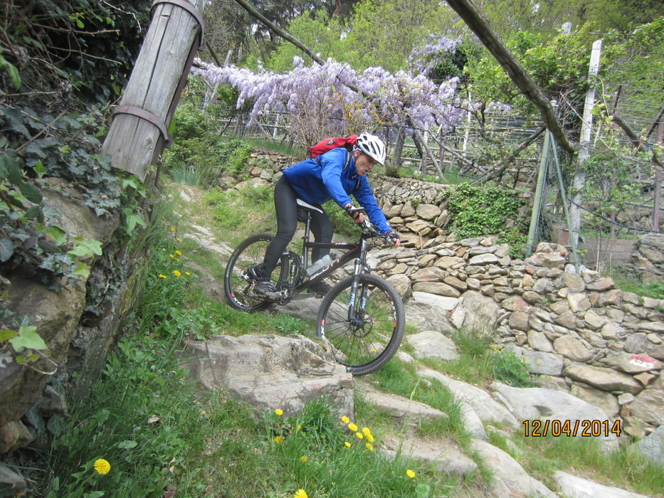
- Trail Einfahrt unterhalb vom Gasthof Oberplatzer bis zum Cafe Konrad am Algunder Waalweg. Flowig bis technisch anspruchsvoll, mit einigen kurzen Schiebepassagen.
- Lasst Euch nicht vom Wirrwarr der Track-Spur irritieren, denn bei der Abfahrt queren wir des Öfteren die Hauptstrasse zur Leiteralm.
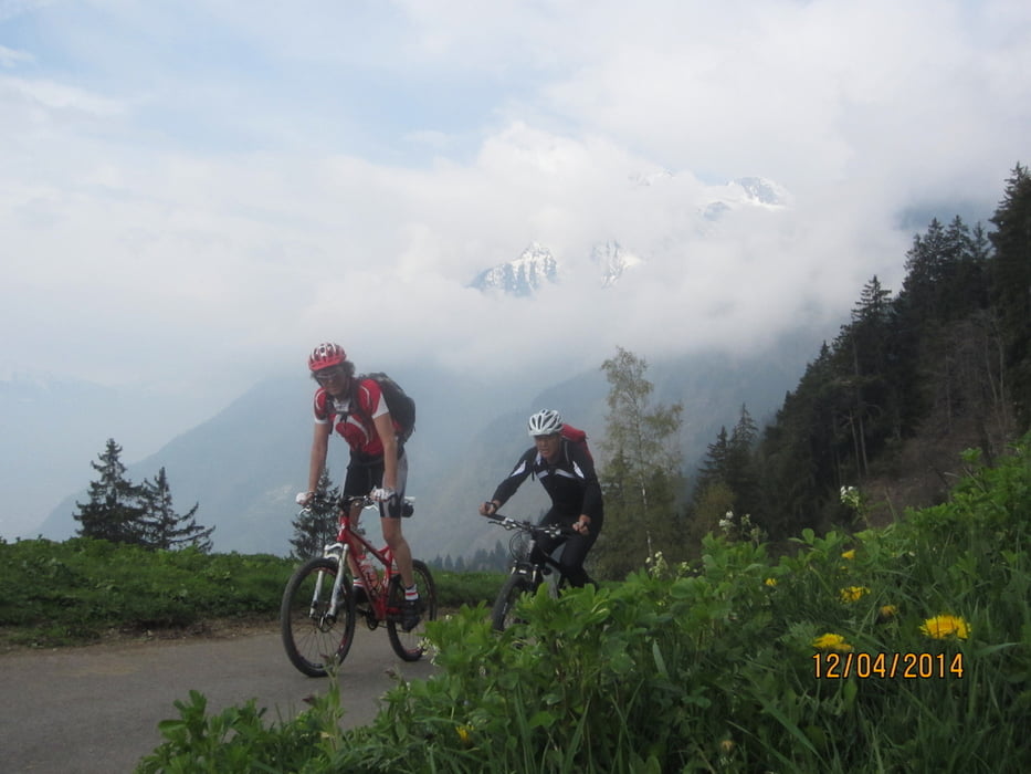
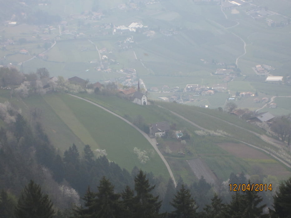
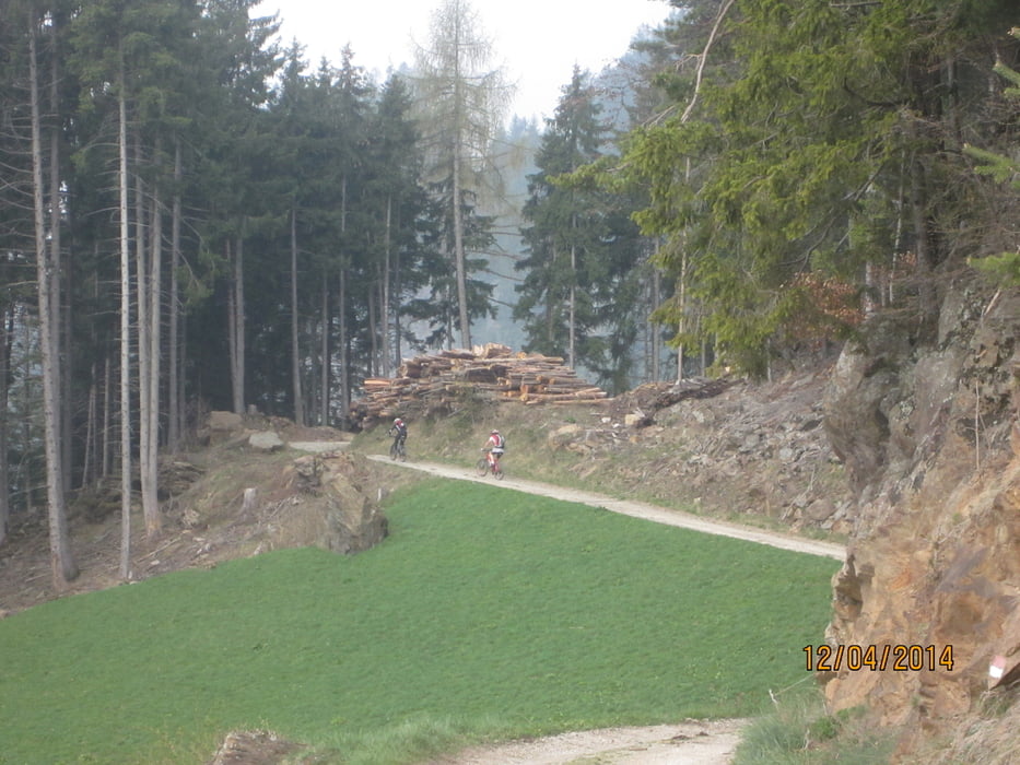
Galeria trasy

Mapa trasy i profil wysokości
Minimum height 328 m
Maximum height 1522 m
More about the tour author
|
|
MargesinFriedrich |
Komentarze

GPS tracks
Trackpoints-
GPX / Garmin Map Source (gpx) download
-
TCX / Garmin Training Center® (tcx) download
-
CRS / Garmin Training Center® (crs) download
-
Google Earth (kml) download
-
G7ToWin (g7t) download
-
TTQV (trk) download
-
Overlay (ovl) download
-
Fugawi (txt) download
-
Kompass (DAV) Track (tk) download
-
Karta trasy (pdf) download
-
Original file of the author (gpx) download
More about the tour author
|
|
MargesinFriedrich |
Add to my favorites
Remove from my favorites
Edit tags
Open track
My score
Rate