
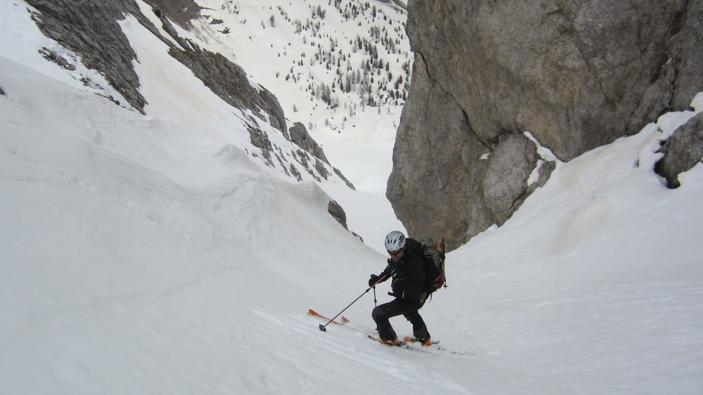

Forcella Alta dei Longerin S4-OSA
Il canale di discesa verso nord nei primi 100 m presenta pendenze fino a 45° poi si allarga e la pendenza diminuisce considerevolmente
Questo itinerario e' classificato come O.S.A. (OTTIMO SCIATORE ALPINISTA). Puo' presentare difficolta' e pendenze sostenute pertanto e' consigliabile solo a sciatori/alpinisti particolarmente esperti che abbiano anche una ottima capacita' di valutazione delle condizioni del manto nevoso.
Further information at
http://www.scivolare.it/pages/dettaglioGita.php?idInfoSci=1410&selected=2Galeria trasy


Mapa trasy i profil wysokości
Minimum height 1296 m
Maximum height 2358 m
More about the tour author

|
dalle6161 |
Komentarze

GPS tracks
Trackpoints-
GPX / Garmin Map Source (gpx) download
-
TCX / Garmin Training Center® (tcx) download
-
CRS / Garmin Training Center® (crs) download
-
Google Earth (kml) download
-
G7ToWin (g7t) download
-
TTQV (trk) download
-
Overlay (ovl) download
-
Fugawi (txt) download
-
Kompass (DAV) Track (tk) download
-
Karta trasy (pdf) download
-
Original file of the author (gpx) download
More about the tour author
|
|
dalle6161 |
Add to my favorites
Remove from my favorites
Edit tags
Open track
My score
Rate