


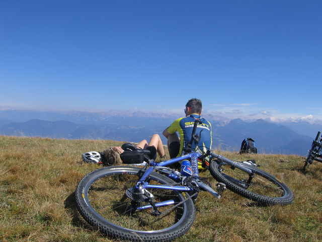
Königsetappe zum Roen (2116m)
Die Tour besitzt alles, um einen richtig zu fordern. Kurz nach Tramin geht es schon mit 22% bergauf. Am Mendelpaß angekommen geht der Spaß erst richtig los! Die letzten zwei Kilometer vor der Roenspitze halten noch 400 Höhenmeter bereit. Alles auf Schotter, schön verblockt. Am Gipfel wirst du aber mit einem herrlichen Ausblick auf Ortler, Brenta, Dolomiten und Alpenhauptkamm entlohnt. Ein paar Kilometer Downhill auf Single Trails dürfen natürlich auch nicht fehlen. Es sind "nur" noch 19 km Single Trail hinab bis Tramin!
Bei dieser Tour haben wir die Mendelbahn als Aufstiegshilfe genutzt. Das spart 800 Höhenmeter
Further information at
http://www.traminerhof.itGaleria trasy
Mapa trasy i profil wysokości
Minimum height 171 m
Maximum height 2115 m
More about the tour author

|
Armin P. |
Komentarze
Über die Brennerautobahn A22 bis zur Ausfahrt Neumarkt/Auer/Tramin. Dann weiter 4 km nach Tramin. Parkmöglickheit beim Bikehotel Traminer Hof
GPS tracks
Trackpoints-
GPX / Garmin Map Source (gpx) download
-
TCX / Garmin Training Center® (tcx) download
-
CRS / Garmin Training Center® (crs) download
-
Google Earth (kml) download
-
G7ToWin (g7t) download
-
TTQV (trk) download
-
Overlay (ovl) download
-
Fugawi (txt) download
-
Kompass (DAV) Track (tk) download
-
Karta trasy (pdf) download
-
Original file of the author (gpx) download
More about the tour author
|
|
Armin P. |
Add to my favorites
Remove from my favorites
Edit tags
Open track
My score
Rate
Um nach Eppan/St. Michael zu kommen, empfiehlt es sich auf den Wegen 9, 4a und 4b sowie ab Söll auf Asphalt über Altenburg, Kaltern auf 'halber Höhe' zu fahren.