Login

Zapomniałeś swój login?

Cookies have to be accepted!
Your browser's cookie functionality is disabled. Please enable this functionality.

Not a member yet?

Register now
Login

Available for registred users only

Log in to use this feature.

Zapomniałeś swój login?

Cookies have to be accepted!
Your browser's cookie functionality is disabled. Please enable this functionality.

Not a member yet?

Register now
Filter
Kategorie
Advanced filters
  • Długość (km)
  • Wysokość
Zapisz filtr Reset filter

TrackRank

QRCode

Technical data

Długość23,4 km Wysokość360 m Way down360 m Czas trwania03:00 h:m Data19.04.2014
Oceny Author Krajobraz Czynnik zadowolenia Kondycja Technika

Statystyka

287 Widoki Oceny 32 Downloads / Pliki do pobrania Przeciętnie
Rate
  • Karta trasy
  • Dojazd
  • Downloads / Pliki do pobrania

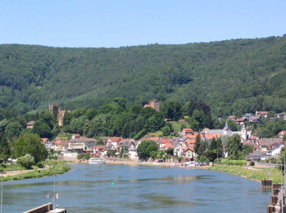
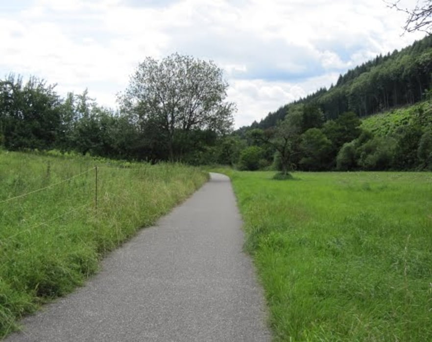
Von Neckargemünd über Dilsbergerhof (oberhalb von Langenzell) Richtung Lobenfeld, an Lobenfeldvorbei, über Finsterbachtal nach Neckarhäuserhof. Oberhalb Neckarhäuserhof auf Feldrandweg Richtung Mückenloch, vor Mückenloch auf den Neckarradweg und wieder nach Neckargemünd zurück. Die Strecke ist hauptsächlich auf breiten Forstwegen und erfordert keinerlei technisches Können. Schöne Ausblicke auf Dilsberg, Neckarsteinach und das Neckartal.


Galeria trasy

Mapa trasy i profil wysokości

  • Open Street Map
  • Google
Minimum height 119 m Maximum height 331 m Widok szczegółowy

More about the tour author

wernermohr
Member since 2008

Send private message

Komentarze

GPS tracks

Trackpoints
  • GPX / Garmin Map Source (gpx) download
  • TCX / Garmin Training Center® (tcx) download
  • CRS / Garmin Training Center® (crs) download
  • Google Earth (kml) download
  • G7ToWin (g7t) download
  • TTQV (trk) download
  • Overlay (ovl) download
  • Fugawi (txt) download
  • Kompass (DAV) Track (tk) download
  • Karta trasy (pdf) download
  • Original file of the author (gpx) download

More about the tour author

wernermohr
Member since 2008

Send private message
Share track
Add to my favorites
Remove from my favorites
Edit tags
My score
Rate
Trasa: Runde um Neckargemuend 24km
Rodzaj: Rower górski (MTB)
Długość: 23,4 km
Evaluated on:
Czas trwania:
Day(s)
Hour(s)
Minute(s)
Ocena: Krajobraz Czynnik zadowolenia Kondycja Technika