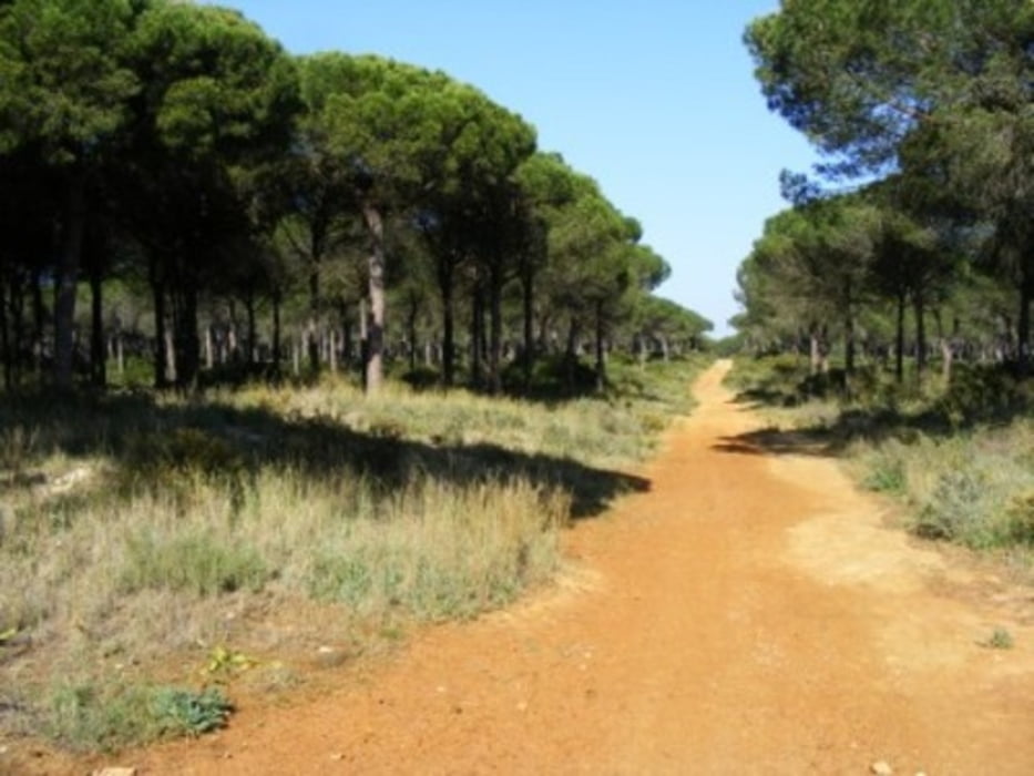
Route 38 aus dem offiziellen Tourismus-Führer "52 MTB-Routen durch die Provinz Cádiz".
Erkundung der Umgebung von Novo Sancti Petri, teilweise durch wunderschöne Pinienhaine. Teile der Route nicht befahrbar, wenn es zu viel geregnet hat. Teilweise sehr anstrengend durch tiefen Sand.
Mapa trasy i profil wysokości
Minimum height 4 m
Maximum height 47 m
Komentarze

GPS tracks
Trackpoints-
GPX / Garmin Map Source (gpx) download
-
TCX / Garmin Training Center® (tcx) download
-
CRS / Garmin Training Center® (crs) download
-
Google Earth (kml) download
-
G7ToWin (g7t) download
-
TTQV (trk) download
-
Overlay (ovl) download
-
Fugawi (txt) download
-
Kompass (DAV) Track (tk) download
-
Karta trasy (pdf) download
-
Original file of the author (gpx) download
Add to my favorites
Remove from my favorites
Edit tags
Open track
My score
Rate


