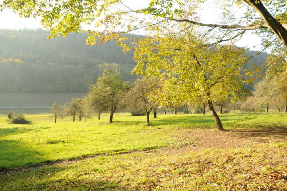
Schnelle Runde von Neckargemünd über Wiesenbachertal nach Dilsbergerhof. Dann über Wiesen- und Waldwege das Rainbachtal runter, an der Lochmühle vorbei und auf der Strasse nach Neckargemünd zurück, durch die Altstadt, im Roma oder Montescoudaio einen Kaffee und gut ist.
Galeria trasy
Mapa trasy i profil wysokości
Minimum height 117 m
Maximum height 250 m
Komentarze

GPS tracks
Trackpoints-
GPX / Garmin Map Source (gpx) download
-
TCX / Garmin Training Center® (tcx) download
-
CRS / Garmin Training Center® (crs) download
-
Google Earth (kml) download
-
G7ToWin (g7t) download
-
TTQV (trk) download
-
Overlay (ovl) download
-
Fugawi (txt) download
-
Kompass (DAV) Track (tk) download
-
Karta trasy (pdf) download
-
Original file of the author (gpx) download
Add to my favorites
Remove from my favorites
Edit tags
Open track
My score
Rate


