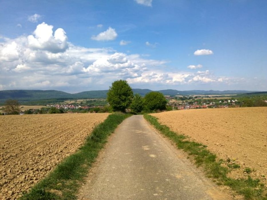
Eine kleine aber feine Radtour zumeist auf Wirtschafts- und Nebenwegen durch die schönen Dörfer des Elsass ... Hier wieder nur die besuchten Dörfer:
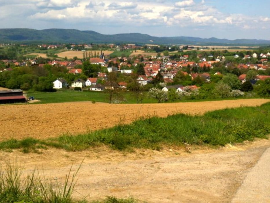
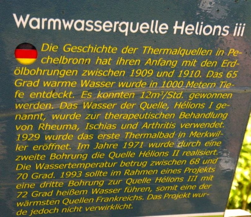
Start in Soultz s/s Forêts - Kutzenhausen - Oberkutzenhausen - Pechelbronn - Merkwiller - Lampertsloch - Preuschdorf - Gunstett - Durrenbach - Biblisheim - Surbourg - Reimerswiller - und zum Schluss mit einer phantastischen Aussicht auf Soultz zum Ausgangspunkt zurück.
Further information at
http://www.france-voyage.com/frankreich-stadte/soultz-sous-forets-26812.htmGaleria trasy
Mapa trasy i profil wysokości
Minimum height 84 m
Maximum height 232 m
Komentarze

Über die Schnellstraße Wissembourg - Hageneau ...
GPS tracks
Trackpoints-
GPX / Garmin Map Source (gpx) download
-
TCX / Garmin Training Center® (tcx) download
-
CRS / Garmin Training Center® (crs) download
-
Google Earth (kml) download
-
G7ToWin (g7t) download
-
TTQV (trk) download
-
Overlay (ovl) download
-
Fugawi (txt) download
-
Kompass (DAV) Track (tk) download
-
Karta trasy (pdf) download
-
Original file of the author (gpx) download
Add to my favorites
Remove from my favorites
Edit tags
Open track
My score
Rate


