Login

Zapomniałeś swój login?

Cookies have to be accepted!
Your browser's cookie functionality is disabled. Please enable this functionality.

Not a member yet?

Register now
Login

Available for registred users only

Log in to use this feature.

Zapomniałeś swój login?

Cookies have to be accepted!
Your browser's cookie functionality is disabled. Please enable this functionality.

Not a member yet?

Register now
Filter
Kategorie
Advanced filters
  • Długość (km)
  • Wysokość
Zapisz filtr Reset filter

TrackRank

QRCode

Technical data

Długość37,2 km Wysokość470 m Way down470 m Czas trwania02:30 h:m Data24.04.2014
Oceny Author Krajobraz Czynnik zadowolenia Kondycja Technika

Statystyka

201 Widoki Oceny 31 Downloads / Pliki do pobrania Przeciętnie
Rate
  • Karta trasy
  • Dojazd
  • Downloads / Pliki do pobrania

Route 39 aus dem offiziellen Tourismus-Führer "52 MTB-Routen durch die Provinz Cádiz".

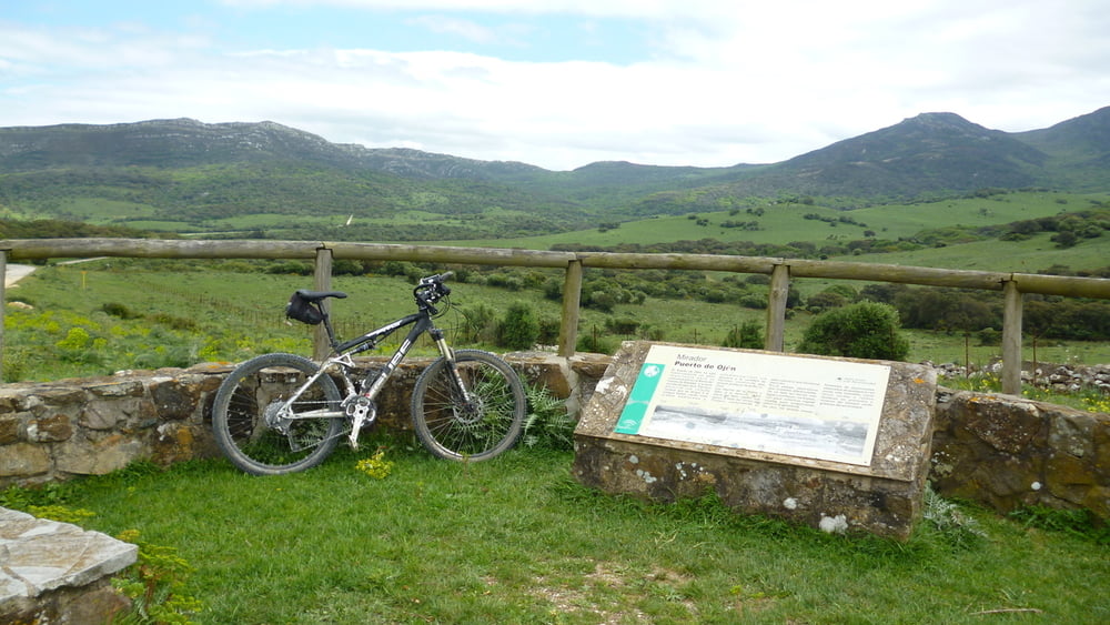
Die Route verläuft durch den Parque Natural de los Alcornocales an einem Stausee vorbei, inmitten von schönen Kork- und Steineichenwäldern. Die Schotterstrasse ist in einem sehr guten Zustand, die Steigung liegt bei maximal 5%.

Mapa trasy i profil wysokości

  • Open Street Map
  • Google
Minimum height 23 m Maximum height 246 m Widok szczegółowy

More about the tour author

DonPromillo
Member since 2008

Send private message

Komentarze

Start- und Zielpunkt: Facinas an der N-340 zwischen Vejer de la Frontera und Tarifa

GPS tracks

Trackpoints
  • GPX / Garmin Map Source (gpx) download
  • TCX / Garmin Training Center® (tcx) download
  • CRS / Garmin Training Center® (crs) download
  • Google Earth (kml) download
  • G7ToWin (g7t) download
  • TTQV (trk) download
  • Overlay (ovl) download
  • Fugawi (txt) download
  • Kompass (DAV) Track (tk) download
  • Karta trasy (pdf) download
  • Original file of the author (gpx) download

More about the tour author

DonPromillo
Member since 2008

Send private message
Share track
Add to my favorites
Remove from my favorites
Edit tags
My score
Rate
Trasa: Puerto de Ojen
Rodzaj: Rower górski (MTB)
Długość: 37,2 km
Evaluated on:
Czas trwania:
Day(s)
Hour(s)
Minute(s)
Ocena: Krajobraz Czynnik zadowolenia Kondycja Technika