
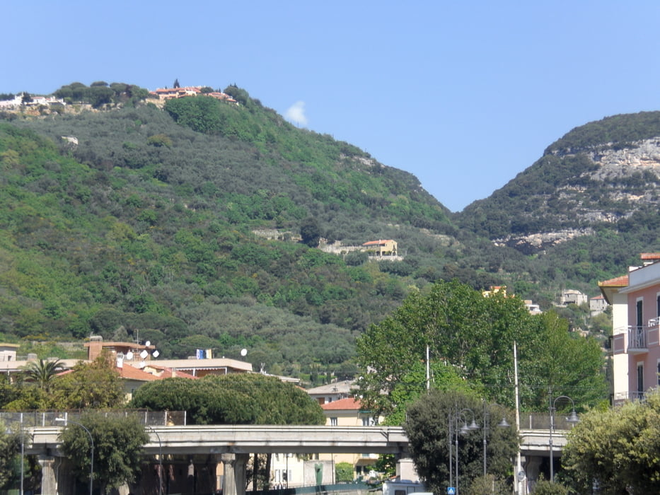

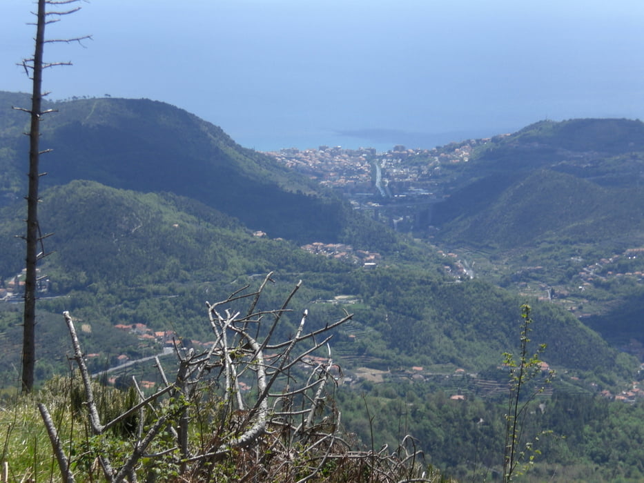
vom Camping Tahiti hinauf zum Ortsteil San Bernardo. Auf einem schönen Singletrail gehts dann am Monte Cucco vorbei. Der Trail geht technisch bergauf. Es sind einige felsige Absätze zu bewältigen. Manchmal ist schieben angebracht, da der Weg stufig steil bergauf geht. Im hinteren Teil des Trails ist sehr gute Fahrtechnik Voraussetzung, um nicht schieben zu müssen. Weiter gehts dann auf einem Fahrweg hinauf zum Refugio San Giacomo. Nun gehts ein ganzes Stück auf der Via Alta Liguria bergab bis man links in den Singletrail abbiegt. Wer immer dem Track nachfährt erlebt einen der schönsten Singletrails in Finale. Das beste Ende kommt zum Schluss. Statt auf der Strasse zum Castell Gavaronne zu fahren, fährt man links ab in einen Fahrweg, der dann in einen Trail führt, der mit runden Pflastersteinen belegt ist und der bis direkt nach Final Borgo führt. Einfach genial.
Galeria trasy


Mapa trasy i profil wysokości
Minimum height 1 m
Maximum height 818 m
More about the tour author
|
|
Fruehaufsteher |
Komentarze

GPS tracks
Trackpoints-
GPX / Garmin Map Source (gpx) download
-
TCX / Garmin Training Center® (tcx) download
-
CRS / Garmin Training Center® (crs) download
-
Google Earth (kml) download
-
G7ToWin (g7t) download
-
TTQV (trk) download
-
Overlay (ovl) download
-
Fugawi (txt) download
-
Kompass (DAV) Track (tk) download
-
Karta trasy (pdf) download
-
Original file of the author (gpx) download
More about the tour author
|
|
Fruehaufsteher |
Add to my favorites
Remove from my favorites
Edit tags
Open track
My score
Rate