
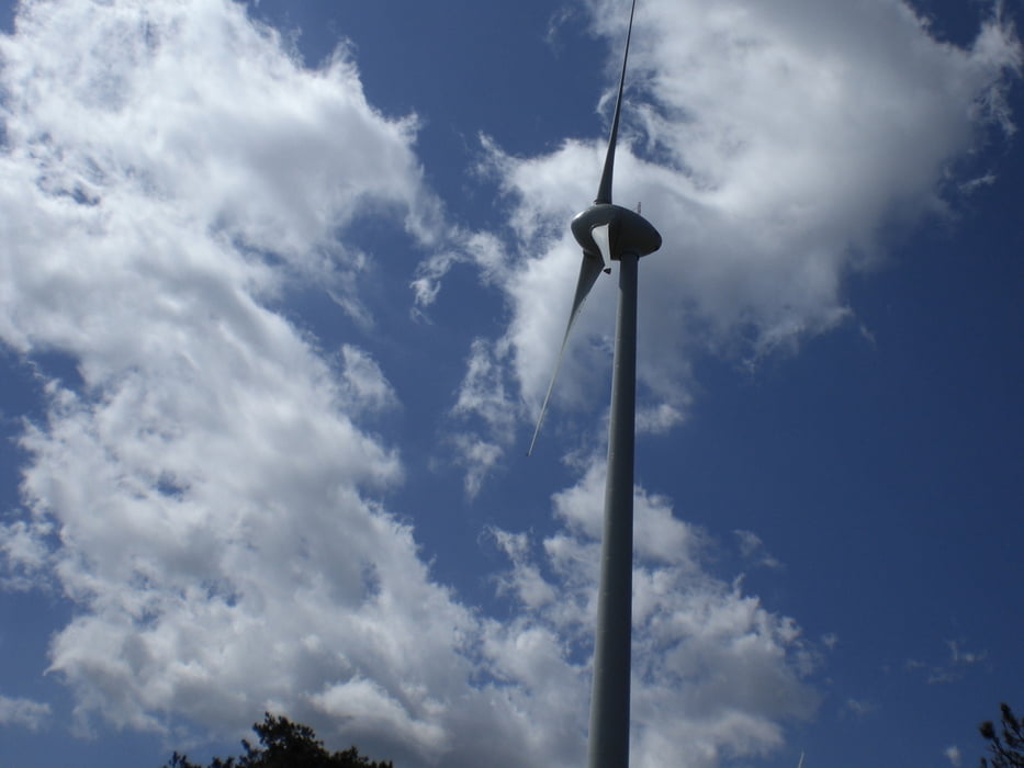

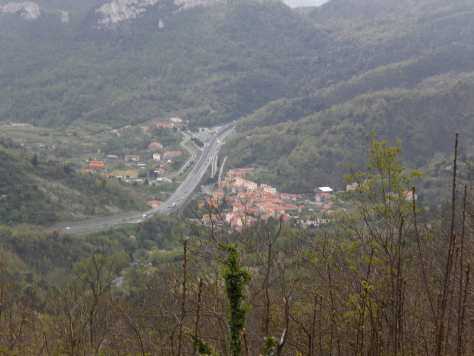
Vom Camping Tahiti nach Final Borgo. Von dort auf der Strasse nach Gorra und dann hinunter nach Calice Ligure (habe ich mir anders vorgestellt - hätte ich mir sparen können. Besser gleich nach Calice Ligure fahren). Von Calice auf Asphalt hinauf bis das Sträßchen in einen Fahrweg übergeht. Gut zu fahren, hat einige steile Rampen drin, die mann alle aber hochfahren kann.Man kommt dann an der Strasse zur nato Base raus. Auf dieser Strasse hinauf zur Nato Base und dann am ehemaligen Helicopter-Landeplatz geht dann der schöne Singletrail hinab bis nach Final Borgo. Einer der schönsten Trails in Finale, die ich gefahren bin.
Galeria trasy
Mapa trasy i profil wysokości
Minimum height -59 m
Maximum height 1008 m
More about the tour author
|
|
Fruehaufsteher |
Komentarze

GPS tracks
Trackpoints-
GPX / Garmin Map Source (gpx) download
-
TCX / Garmin Training Center® (tcx) download
-
CRS / Garmin Training Center® (crs) download
-
Google Earth (kml) download
-
G7ToWin (g7t) download
-
TTQV (trk) download
-
Overlay (ovl) download
-
Fugawi (txt) download
-
Kompass (DAV) Track (tk) download
-
Karta trasy (pdf) download
-
Original file of the author (gpx) download
More about the tour author
|
|
Fruehaufsteher |
Add to my favorites
Remove from my favorites
Edit tags
Open track
My score
Rate