Login

Zapomniałeś swój login?

Cookies have to be accepted!
Your browser's cookie functionality is disabled. Please enable this functionality.

Not a member yet?

Register now
Login

Available for registred users only

Log in to use this feature.

Zapomniałeś swój login?

Cookies have to be accepted!
Your browser's cookie functionality is disabled. Please enable this functionality.

Not a member yet?

Register now
Filter
Kategorie
Advanced filters
  • Długość (km)
  • Wysokość
Zapisz filtr Reset filter

TrackRank

QRCode

Technical data

Długość34,2 km Wysokość398 m Way down406 m Czas trwania02:00 h:m Data27.04.2014
Oceny Author Krajobraz Czynnik zadowolenia Kondycja Technika

Statystyka

290 Widoki Oceny 35 Downloads / Pliki do pobrania Przeciętnie
Rate
  • Karta trasy
  • Dojazd
  • Downloads / Pliki do pobrania
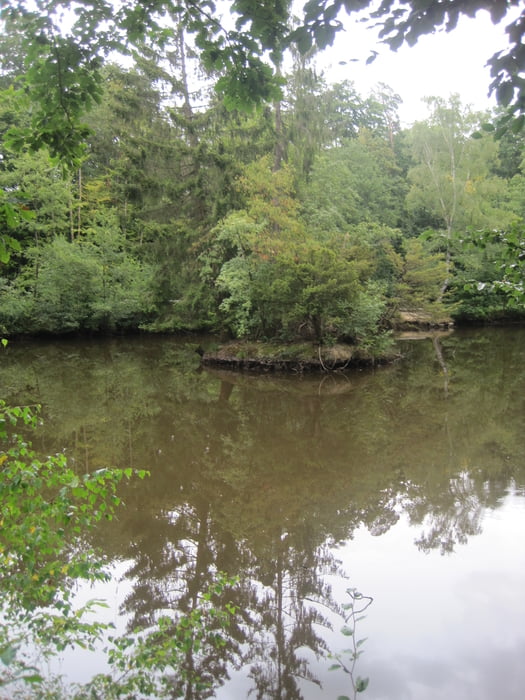
Die Tour beginnt an der U-Bahnstation Niederursel und man radelt zunächst über Feldwege zum Gotischen Haus am Rande von Bad Homburg. Von dort geht es hinauf bis (fast) zur Saalburg. Rechter Hand an der Jupitersäule vorbei fährt man dann zum Marmorstein, einer kleinen Felsformation mit schöner Aussicht und einem guten Platz zum Rasten und Sonnen.  Ab hier geht es wieder bergab zum Taunus-Informationszentrum und über Feldwege zurück nach Niederursel.

Galeria trasy

Mapa trasy i profil wysokości

  • Open Street Map
  • Google
Minimum height 118 m Maximum height 458 m Widok szczegółowy

More about the tour author

ramsdorf
Member since 2012

Send private message

Komentarze

GPS tracks

Trackpoints
  • GPX / Garmin Map Source (gpx) download
  • TCX / Garmin Training Center® (tcx) download
  • CRS / Garmin Training Center® (crs) download
  • Google Earth (kml) download
  • G7ToWin (g7t) download
  • TTQV (trk) download
  • Overlay (ovl) download
  • Fugawi (txt) download
  • Kompass (DAV) Track (tk) download
  • Karta trasy (pdf) download
  • Original file of the author (gpx) download

More about the tour author

ramsdorf
Member since 2012

Send private message
Share track
Add to my favorites
Remove from my favorites
Edit tags
My score
Rate
Trasa: Niederursel-Marmorstein-Runde
Rodzaj: Rower górski (MTB)
Długość: 34,2 km
Evaluated on:
Czas trwania:
Day(s)
Hour(s)
Minute(s)
Ocena: Krajobraz Czynnik zadowolenia Kondycja Technika