


Mit der ÖBB Aktion "Bratislover" von Wien nach Bratislava um 15 € inkl. Rad.
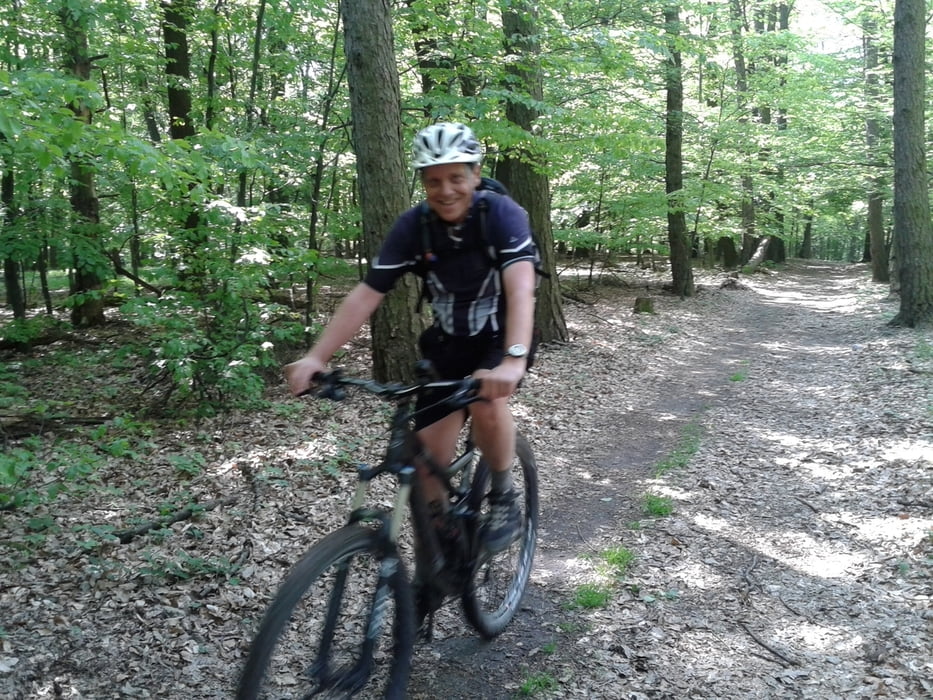
Mal ein anderes "Gebirge". Das Gelände ähnelt dem Wienerwald.
Allerdings hat es noch schönere Waldbodenwegerl.
Überraschend viele Biker getroffen. Wirtshausmäßig könnten
die Slowaken noch zulegen. Aber zumindest haben wir eines gefunden,
mit einem "Menü": Gulaschsuppe - gut.
Galeria trasy
Mapa trasy i profil wysokości
Minimum height 142 m
Maximum height 563 m
More about the tour author
|
|
mitter |
Komentarze

Start vom Bahnhof Bratislava.
GPS tracks
Trackpoints-
GPX / Garmin Map Source (gpx) download
-
TCX / Garmin Training Center® (tcx) download
-
CRS / Garmin Training Center® (crs) download
-
Google Earth (kml) download
-
G7ToWin (g7t) download
-
TTQV (trk) download
-
Overlay (ovl) download
-
Fugawi (txt) download
-
Kompass (DAV) Track (tk) download
-
Karta trasy (pdf) download
-
Original file of the author (gpx) download
More about the tour author
|
|
mitter |
Add to my favorites
Remove from my favorites
Edit tags
Open track
My score
Rate