Login

Zapomniałeś swój login?

Cookies have to be accepted!
Your browser's cookie functionality is disabled. Please enable this functionality.

Not a member yet?

Register now
Login

Available for registred users only

Log in to use this feature.

Zapomniałeś swój login?

Cookies have to be accepted!
Your browser's cookie functionality is disabled. Please enable this functionality.

Not a member yet?

Register now
Filter
Kategorie
Advanced filters
  • Długość (km)
  • Wysokość
Zapisz filtr Reset filter

TrackRank

QRCode

Technical data

Długość29,7 km Wysokość244 m Way down292 m Czas trwania03:41 h:m Data04.05.2014
Oceny Author Krajobraz Czynnik zadowolenia Kondycja Technika

Statystyka

1539 Widoki Oceny 115 Downloads / Pliki do pobrania Przeciętnie
Rate
  • Karta trasy
  • Dojazd
  • Downloads / Pliki do pobrania
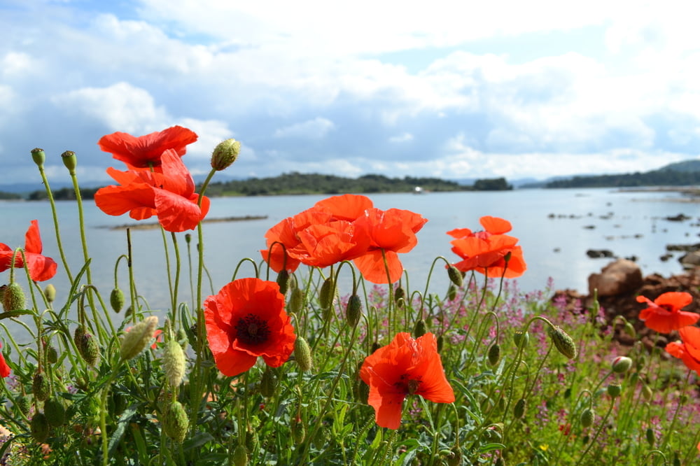
Von Tisno aus geht es nach Betina und weiter nach Murter,von da geht es der Küste entlang (sehr schwieriges Gelände,viel schieben und tragen,das muss man vorher bedenken).Aber das Meer hier ist ein Traum,türkises Wasser und Ruhe pur.Die Anstrengung macht sich bezahlt.Dann geht es wieder zurück nach Tisno,teils auf Asphalt und teils auf Schotter.

Galeria trasy

Mapa trasy i profil wysokości

  • Open Street Map
  • Google
Minimum height -4 m Maximum height 79 m Widok szczegółowy

More about the tour author

plazo100
Member since 2009

Send private message

Komentarze

GPS tracks

Trackpoints
  • GPX / Garmin Map Source (gpx) download
  • TCX / Garmin Training Center® (tcx) download
  • CRS / Garmin Training Center® (crs) download
  • Google Earth (kml) download
  • G7ToWin (g7t) download
  • TTQV (trk) download
  • Overlay (ovl) download
  • Fugawi (txt) download
  • Kompass (DAV) Track (tk) download
  • Karta trasy (pdf) download
  • Original file of the author (gpx) download

More about the tour author

plazo100
Member since 2009

Send private message
Share track
Add to my favorites
Remove from my favorites
Edit tags
My score
Rate
Trasa: Insel Murter Erkundung!!!!
Rodzaj: Rower górski (MTB)
Długość: 29,7 km
Evaluated on:
Czas trwania:
Day(s)
Hour(s)
Minute(s)
Ocena: Krajobraz Czynnik zadowolenia Kondycja Technika