Login

Zapomniałeś swój login?

Cookies have to be accepted!
Your browser's cookie functionality is disabled. Please enable this functionality.

Not a member yet?

Register now
Login

Available for registred users only

Log in to use this feature.

Zapomniałeś swój login?

Cookies have to be accepted!
Your browser's cookie functionality is disabled. Please enable this functionality.

Not a member yet?

Register now
Filter
Kategorie
Advanced filters
  • Długość (km)
  • Wysokość
Zapisz filtr Reset filter

TrackRank

QRCode

Technical data

Długość77,2 km Wysokość873 m Way down825 m Czas trwania05:30 h:m Data10.05.2014
Oceny Author Krajobraz Czynnik zadowolenia Kondycja Technika

Statystyka

505 Widoki Oceny 56 Downloads / Pliki do pobrania Przeciętnie
Rate
  • Karta trasy
  • Dojazd
  • Downloads / Pliki do pobrania

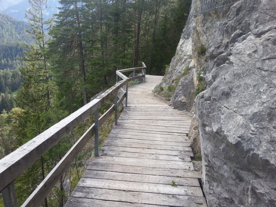
Die erste Etappe unseres Transalp führte uns vom Bahnhof in Garmisch über einen landschaftlich schönen Radlweg an der Loisach bis Ehrwald. Dort geht es in den reizvollen Lärchenwald hinüber Richtung Fernpass. Auf einer Forststraße geht es entlang der Via Claudia hinauf und auf der anderen Seite auf tollen Wegen wieder hinunter nach Nassereith. Gut beschilderte Radwege führten uns nach Imst und auf dem Innradweg bis nach Zams kurz vor Landeck.


Galeria trasy

Mapa trasy i profil wysokości

  • Open Street Map
  • Google
Minimum height 717 m Maximum height 1279 m Widok szczegółowy

More about the tour author

Haary
Member since 2014

Send private message

Komentarze

GPS tracks

Trackpoints
  • GPX / Garmin Map Source (gpx) download
  • TCX / Garmin Training Center® (tcx) download
  • CRS / Garmin Training Center® (crs) download
  • Google Earth (kml) download
  • G7ToWin (g7t) download
  • TTQV (trk) download
  • Overlay (ovl) download
  • Fugawi (txt) download
  • Kompass (DAV) Track (tk) download
  • Karta trasy (pdf) download
  • Original file of the author (gpx) download

More about the tour author

Haary
Member since 2014

Send private message
Share track
Add to my favorites
Remove from my favorites
Edit tags
My score
Rate
Trasa: Garmisch bis Zams
Rodzaj: Rower górski (MTB)
Długość: 77,2 km
Evaluated on:
Czas trwania:
Day(s)
Hour(s)
Minute(s)
Ocena: Krajobraz Czynnik zadowolenia Kondycja Technika