


Eine schöne und sehr abwechlungsreiche Radtour von Homburg nach Süden.
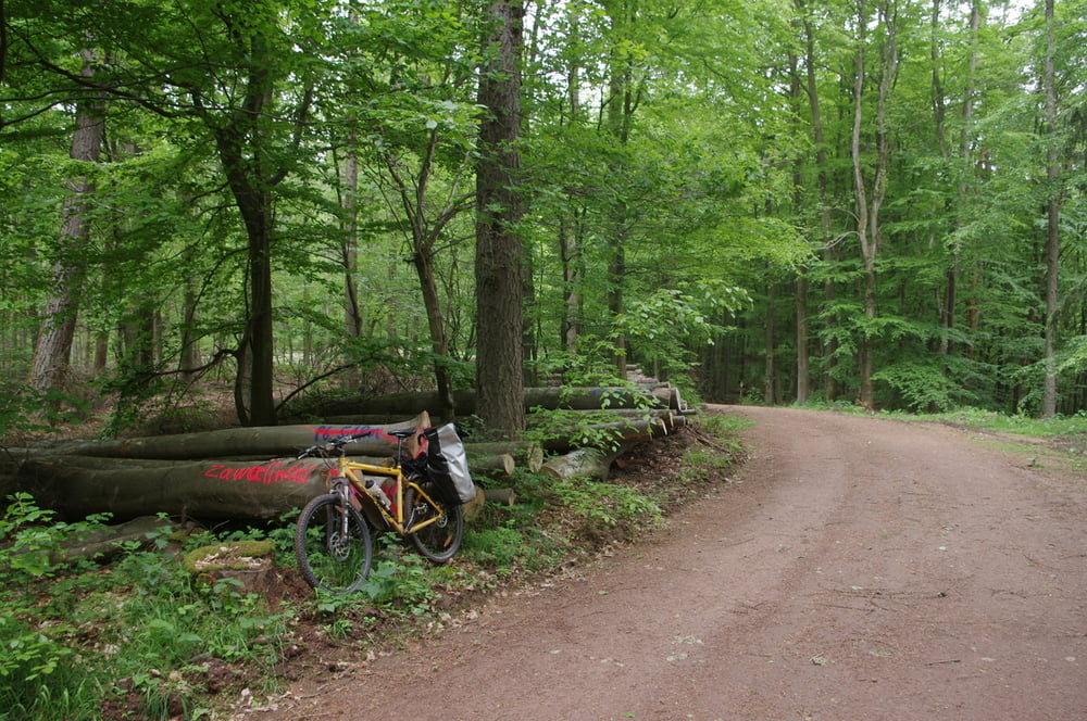
Der Weg nach Süden ist teilweise über die Berge es Sankt Ingbert-Kirkeler Waldgebietes und die südlich anschließenden Hügel von Mandelbachtal und des Saarbrücker Stadtwaldes anspruchsvoll aber wunderschön.
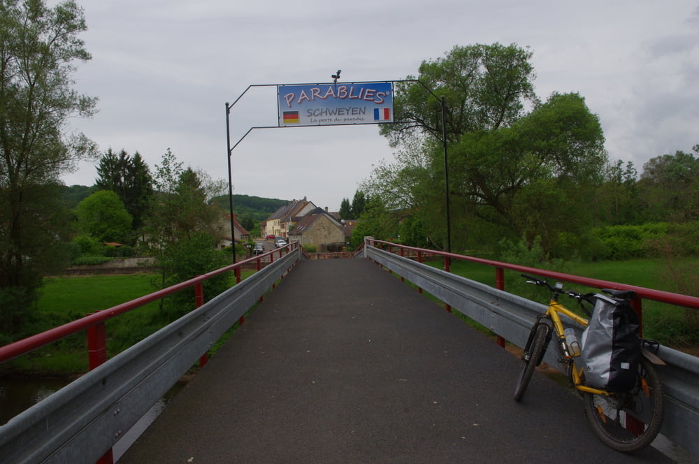
Nachdem ich die Grenze überquert hatte begann es zu regnen und ich fuhr auf der alten Bahntrasse in Frankreich und Saarland wieder zurück zum Ausgangspunkt.
Further information at
https://de.wikipedia.org/wiki/BlieskastelGaleria trasy
Mapa trasy i profil wysokości
Minimum height 213 m
Maximum height 400 m
More about the tour author
|
|
Pheinz |
Komentarze

In Schwarzenbach gehts los.
GPS tracks
Trackpoints-
GPX / Garmin Map Source (gpx) download
-
TCX / Garmin Training Center® (tcx) download
-
CRS / Garmin Training Center® (crs) download
-
Google Earth (kml) download
-
G7ToWin (g7t) download
-
TTQV (trk) download
-
Overlay (ovl) download
-
Fugawi (txt) download
-
Kompass (DAV) Track (tk) download
-
Karta trasy (pdf) download
-
Original file of the author (gpx) download
More about the tour author
|
|
Pheinz |
Add to my favorites
Remove from my favorites
Edit tags
Open track
My score
Rate