Login

Zapomniałeś swój login?

Cookies have to be accepted!
Your browser's cookie functionality is disabled. Please enable this functionality.

Not a member yet?

Register now
Login

Available for registred users only

Log in to use this feature.

Zapomniałeś swój login?

Cookies have to be accepted!
Your browser's cookie functionality is disabled. Please enable this functionality.

Not a member yet?

Register now
Filter
Kategorie
Advanced filters
  • Długość (km)
  • Wysokość
Zapisz filtr Reset filter

TrackRank

QRCode

Technical data

Długość57,7 km Wysokość486 m Way down492 m Czas trwania02:45 h:m Data11.05.2014
Oceny Author Krajobraz Czynnik zadowolenia Kondycja Technika

Statystyka

440 Widoki Oceny 55 Downloads / Pliki do pobrania Przeciętnie
Rate
  • Karta trasy
  • Dojazd
  • Downloads / Pliki do pobrania

Hallo Zusammen,

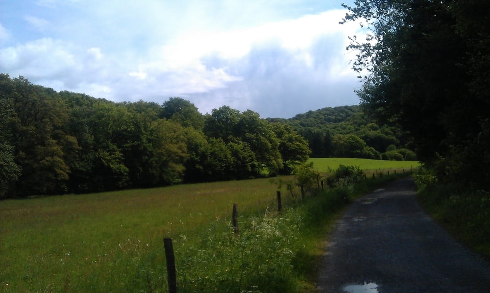
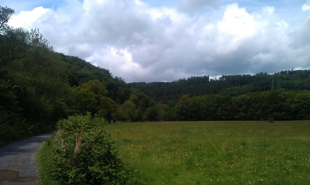
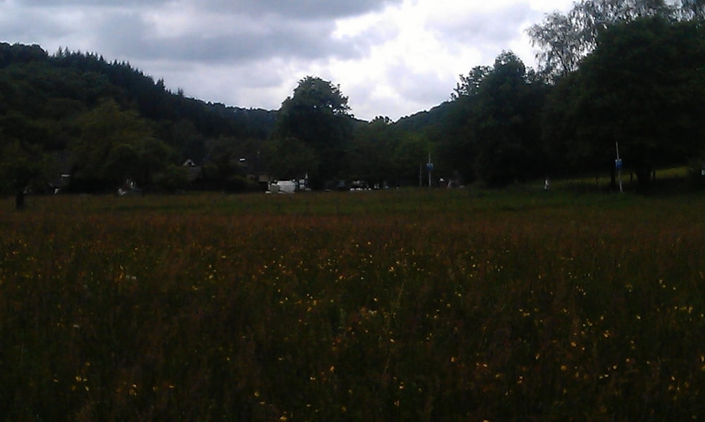
hier wie immer eine Rundtour, wir haben extra die Wege ausgesucht die nicht so Matschig sind. Da es die Tage zuvor immer wieder ordentlich geregnet hat. Aber eine schön zu fahrende Runde, vorbei an der Kohlfuhrt, Müngstner Brücke, Unterburg, Wipperaue, ein Stück nach Leichlingen und über Witzhelden und Hilden zurück nach Erkrath.


Galeria trasy

Mapa trasy i profil wysokości

  • Open Street Map
  • Google
Minimum height 50 m Maximum height 179 m Widok szczegółowy

More about the tour author

MarcusVergin
Member since 2009

Send private message

Komentarze

GPS tracks

Trackpoints
  • GPX / Garmin Map Source (gpx) download
  • TCX / Garmin Training Center® (tcx) download
  • CRS / Garmin Training Center® (crs) download
  • Google Earth (kml) download
  • G7ToWin (g7t) download
  • TTQV (trk) download
  • Overlay (ovl) download
  • Fugawi (txt) download
  • Kompass (DAV) Track (tk) download
  • Karta trasy (pdf) download
  • Original file of the author (gpx) download

More about the tour author

MarcusVergin
Member since 2009

Send private message
Share track
Add to my favorites
Remove from my favorites
Edit tags
My score
Rate
Trasa: Rund um Solingen
Rodzaj: Rower górski (MTB)
Długość: 57,7 km
Evaluated on:
Czas trwania:
Day(s)
Hour(s)
Minute(s)
Ocena: Krajobraz Czynnik zadowolenia Kondycja Technika