


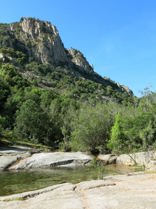
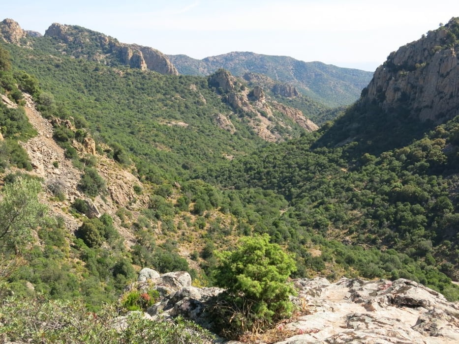
Eine Rundwanderung im WWF-Naturpark. Der Track entspricht der Route 61 (nur Waypoints) im Rother Wanderführer Sardinien. Der Eintritt kostet mittlerweile 6€ pro Person. Die Wanderung verläuft häufig im Schatten der Bäume. Im Mai ist die Wanderung von wegen der Hitze noch zu empfehlen. Hohe Bergschuhe sind zu empfehlen. Der Weg führt auch durch Geröll und über steinige Wege.
Geöffnet nur am Samstag und Sonntag, siehe auch Link Oasi WWF unter "Weitere Informationen"
Further information at
http://www.wwf.it/oasi/sardegna/monte_arcosu/Galeria trasy


Mapa trasy i profil wysokości
Minimum height 96 m
Maximum height 336 m
More about the tour author
|
|
mabrueckner |
Komentarze

Von Capoterra zur Kirche Santa Lucia und bald danach rechts auf die schmale Strasse abbiegen. Die Strasse wird bald zur Schotterstrasse. Mit dem Track sind auch die Waypoints angegeben, wo man zum Parkeingang von der SP91 auf die SP1 und dann auf die Schotterstrasse abbiegen muss.
GPS tracks
Trackpoints-
GPX / Garmin Map Source (gpx) download
-
TCX / Garmin Training Center® (tcx) download
-
CRS / Garmin Training Center® (crs) download
-
Google Earth (kml) download
-
G7ToWin (g7t) download
-
TTQV (trk) download
-
Overlay (ovl) download
-
Fugawi (txt) download
-
Kompass (DAV) Track (tk) download
-
Karta trasy (pdf) download
-
Original file of the author (gpx) download
More about the tour author
|
|
mabrueckner |
Add to my favorites
Remove from my favorites
Edit tags
Open track
My score
Rate