
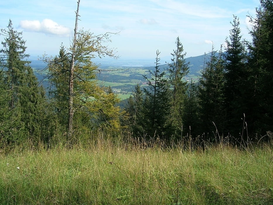

Vom Parkplatz Unternogg fahren wir über die Brücke und am Straßenrand entlang bis nach links ein Forstweg abzweigt. Mit einer Karte oder GPS kommt man gut über Forstwege zum höchsten Punkt der Tour, an dem links ein Pfad zum Gipfel des Hochwild-Feuerbergs (1545) geht. Bald beginnt ein schlechter Forstweg,der uns zu einer Waldlichtung führt, auf der einmal die Anwurfhütte stand - geblieben sind nur noch einige Holzreste und ein Brunnen. Die Abfahrt geht dann über einen holprigen und steilen Weg abwärts zur Lähnbach-Hütte. Kurz danach kommt man auf einen breiten Forstweg der uns zur Saulochhütte führt. Rechts neben der Hütte beginnt der Saulochtrail der gut fahrbar zum Fernradweg Bodensee-Königsee führt. Von dort zurück zum Ausgangspunkt Unternogg.
Mapa trasy i profil wysokości
Minimum height 845 m
Maximum height 1524 m
More about the tour author

|
Lappes |
Komentarze

Talort
Altenau/Unternogg
von Süden über die B23 Richtung Unterammergau,
von Süden über die B23 Richtung Unterammergau,
von Norden über die B 23 Richtung Saulgrub,
von der Autobahn A95 - Murnau St 2062 Richtung Saulgrub, Unterammergau
Abzweigen nach Altenau,
dann weiter Richtung Forsthaus Unternogg,
noch einge 100 Meter zum Parkplatz vor der Brücke
GPS tracks
Trackpoints-
GPX / Garmin Map Source (gpx) download
-
TCX / Garmin Training Center® (tcx) download
-
CRS / Garmin Training Center® (crs) download
-
Google Earth (kml) download
-
G7ToWin (g7t) download
-
TTQV (trk) download
-
Overlay (ovl) download
-
Fugawi (txt) download
-
Kompass (DAV) Track (tk) download
-
Karta trasy (pdf) download
-
Original file of the author (gpx) download
More about the tour author
|
|
Lappes |
Add to my favorites
Remove from my favorites
Edit tags
Open track
My score
Rate