


Die Tour führt uns Rund um Arco. Großteils auf der Anello Garda Sarca Strecke jedoch nach damaligem Belieben leicht abgeändert.
Wir starten in Arco – fahren auf dem Radweg zum Gardasee entlang der Sacre. Weiter gehts am See entlang nach Riva. Von dort aus nehmen wir den Radweg in Richtung Varone.
Wir beißen uns durch Deva und danach auf Asphalt nach Tenno hinauf.
Ab Tenno geht es dem Hang entlang in Serpentinen auf die Rückseite von Arco hinunter.
Hinter der Burg fahren wir einen Kreuzweg hinauf der uns zu einer kleinen Kirche bringt. Danach auf Schotter ein Tal bis nach Ceniga bei Dro und auf dem Radweg retour nach Arco.
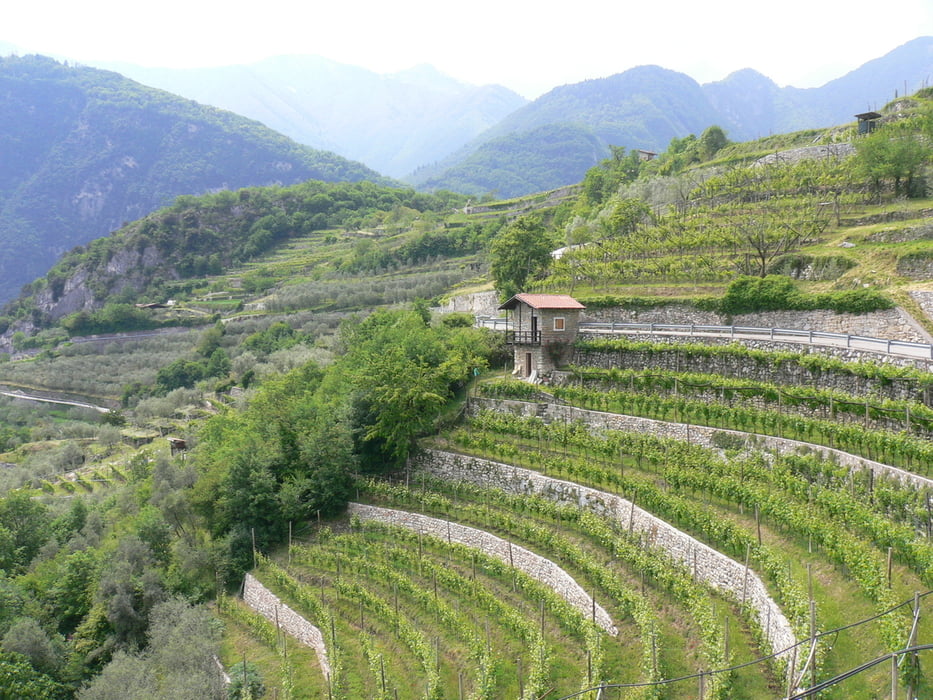
Galeria trasy


Mapa trasy i profil wysokości
Minimum height 69 m
Maximum height 445 m
More about the tour author
|
|
Hoar |
Komentarze

GPS tracks
Trackpoints-
GPX / Garmin Map Source (gpx) download
-
TCX / Garmin Training Center® (tcx) download
-
CRS / Garmin Training Center® (crs) download
-
Google Earth (kml) download
-
G7ToWin (g7t) download
-
TTQV (trk) download
-
Overlay (ovl) download
-
Fugawi (txt) download
-
Kompass (DAV) Track (tk) download
-
Karta trasy (pdf) download
-
Original file of the author (gpx) download
More about the tour author
|
|
Hoar |
Add to my favorites
Remove from my favorites
Edit tags
Open track
My score
Rate