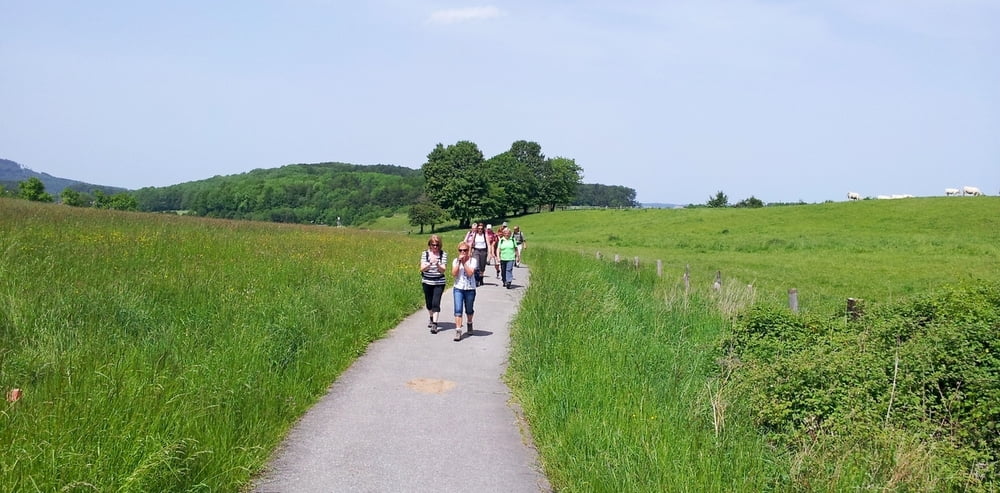
Diese Tour ist auch bekannt als Ritter, Römer, Ritten.
Der Rundkurs ist sehr gut ausgeschildert. Geparkt haben wir am Sportplatz. Der Weg führt dich im Uhrzeigersinn um Holzhausen. Als Höhepunkt der Wanderung besucht am Schluss die Externsteine. Vorher aber immer wieder schöne Aussichten in das Lipperland bis hin zum Weserbergland.
Eine Wanderung die sich lohnt.
Galeria trasy
Mapa trasy i profil wysokości
Minimum height 206 m
Maximum height 383 m
Komentarze

GPS tracks
Trackpoints-
GPX / Garmin Map Source (gpx) download
-
TCX / Garmin Training Center® (tcx) download
-
CRS / Garmin Training Center® (crs) download
-
Google Earth (kml) download
-
G7ToWin (g7t) download
-
TTQV (trk) download
-
Overlay (ovl) download
-
Fugawi (txt) download
-
Kompass (DAV) Track (tk) download
-
Karta trasy (pdf) download
-
Original file of the author (gpx) download
Add to my favorites
Remove from my favorites
Edit tags
Open track
My score
Rate


