


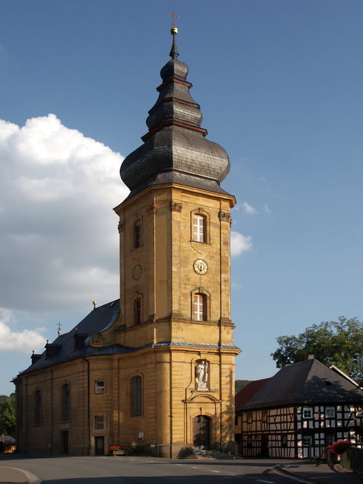
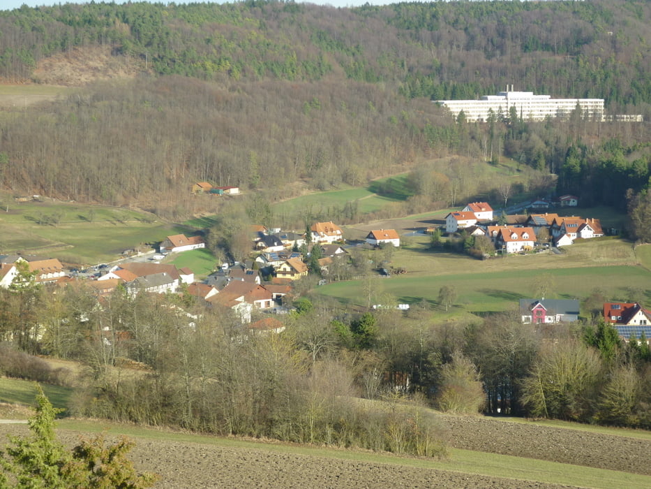
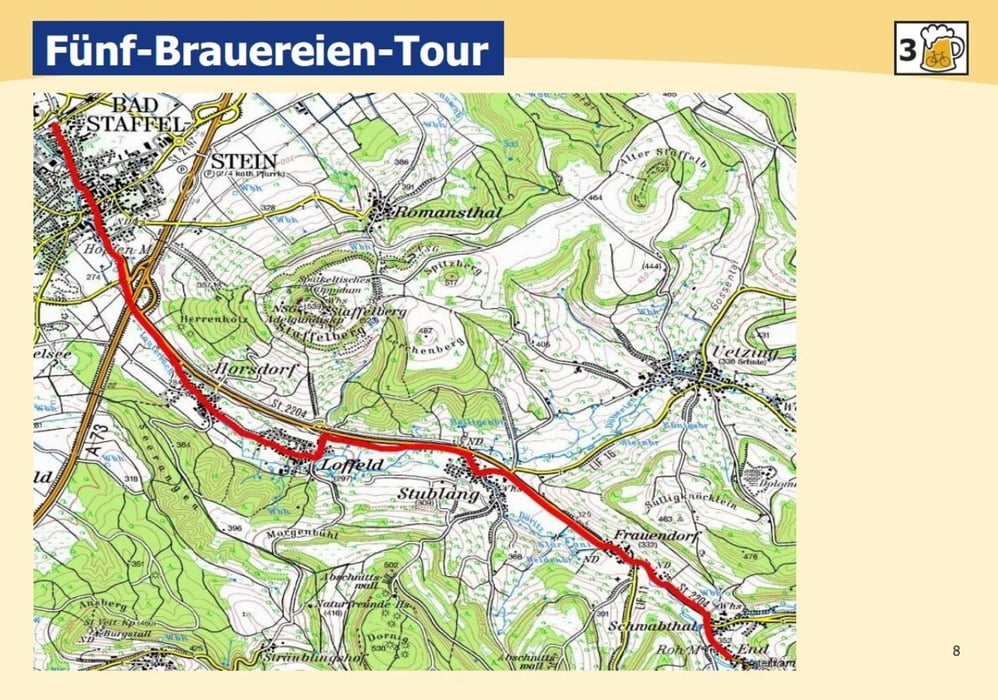
Beginn der Tour ist am Bahnhof. Radeln Sie die Bahnhofstraße, Bad Staffelsteins Flaniermeile, Richtung Innenstadt und am Marktplatz gerade über die Kreuzung in die Horsdorfer Straße. Ab der Hopfenmühle können Sie einen Radweg befahren und überqueren auf diesem auch den Kreisverkehr. Zunächst durchfahren Sie die schmucken, traditionsreichen Orte Horsdorf uns Loffeld. Am Ortsende biegen Sie rechts in den Radweg ab. Dieser führt Sie durch die Orte Stublang und Frauendorf bis Schwabthal. Von dort fahren Sie auf der Straße bis zum Zielort End. Die gleiche Tour bringt Sie z urück nach Bad Staffelstein.
Galeria trasy
Mapa trasy i profil wysokości
Minimum height 260 m
Maximum height 358 m
More about the tour author

|
badstaffelstein |
Komentarze

Mit dem Auto:
Über die Autobahn A73 Nürnberg / Bamberg / Suhl, Ausfahrt Bad Staffelstein - Kurzentrum
Über die Autobahn A9 Berlin - München, Ausfahrt Bayreuth / Kulmbach
-Weiter auf A70 nach Bad Staffelstein
-Über B289 / B173 nach Bad Staffelstein
Mit der Bahn:
Bad Staffelstein liegt an der Hauptstrecke Berlin - München.
Die nächsten ICE / IC-Bahnhöfe befinden sich in Lichtenfels und Bamberg. Gute Regionalverbindung.
GPS tracks
Trackpoints-
GPX / Garmin Map Source (gpx) download
-
TCX / Garmin Training Center® (tcx) download
-
CRS / Garmin Training Center® (crs) download
-
Google Earth (kml) download
-
G7ToWin (g7t) download
-
TTQV (trk) download
-
Overlay (ovl) download
-
Fugawi (txt) download
-
Kompass (DAV) Track (tk) download
-
Karta trasy (pdf) download
-
Original file of the author (gpx) download
More about the tour author
|
|
badstaffelstein |
Add to my favorites
Remove from my favorites
Edit tags
Open track
My score
Rate