Login

Zapomniałeś swój login?

Cookies have to be accepted!
Your browser's cookie functionality is disabled. Please enable this functionality.

Not a member yet?

Register now
Login

Available for registred users only

Log in to use this feature.

Zapomniałeś swój login?

Cookies have to be accepted!
Your browser's cookie functionality is disabled. Please enable this functionality.

Not a member yet?

Register now
Filter
Kategorie
Advanced filters
  • Długość (km)
  • Wysokość
Zapisz filtr Reset filter

TrackRank

QRCode

Technical data

Długość50,8 km Wysokość1230 m Way down1230 m Czas trwania04:00 h:m Data27.05.2014
Oceny Author User Krajobraz Czynnik zadowolenia Kondycja Technika

Statystyka

594 Widoki 1 Ocena 110 Downloads / Pliki do pobrania 4.00 Przeciętnie
Rate
  • Karta trasy
  • Dojazd
  • Downloads / Pliki do pobrania

Schöne MTB-Rundtour auf Rad- und Wanderwegen rund um das obere Ermstal mit eindrucksvollen Ausblicken. Reine Fahrzeit ungefähr 4 Stunden.

Streckenverlauf:

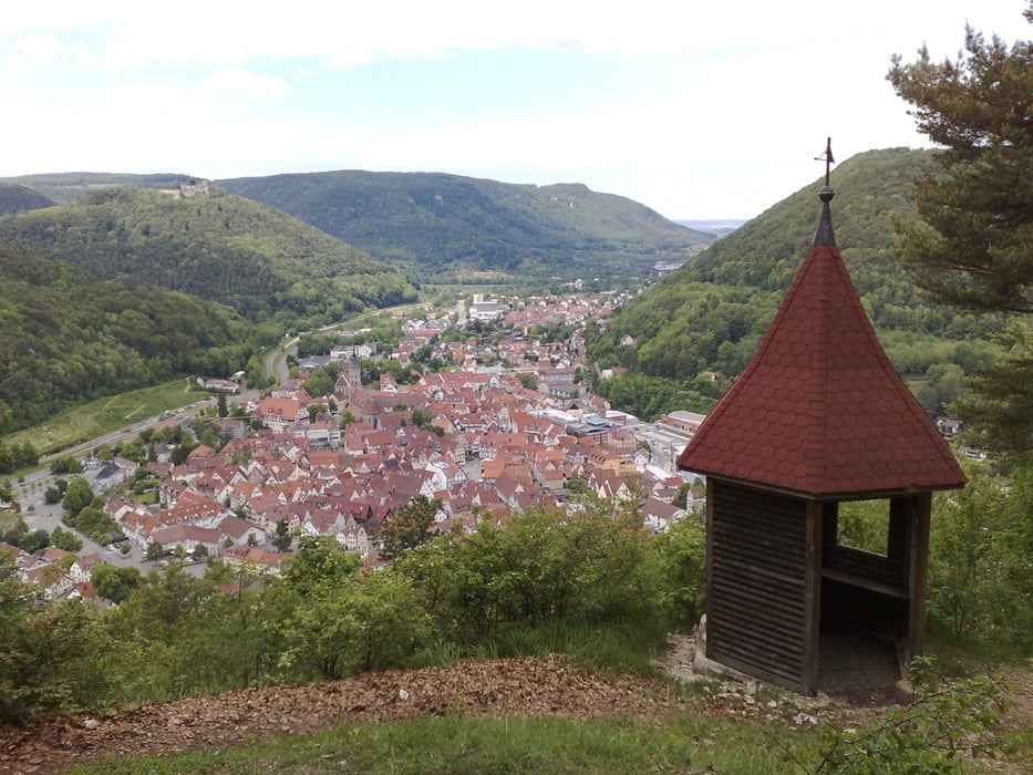
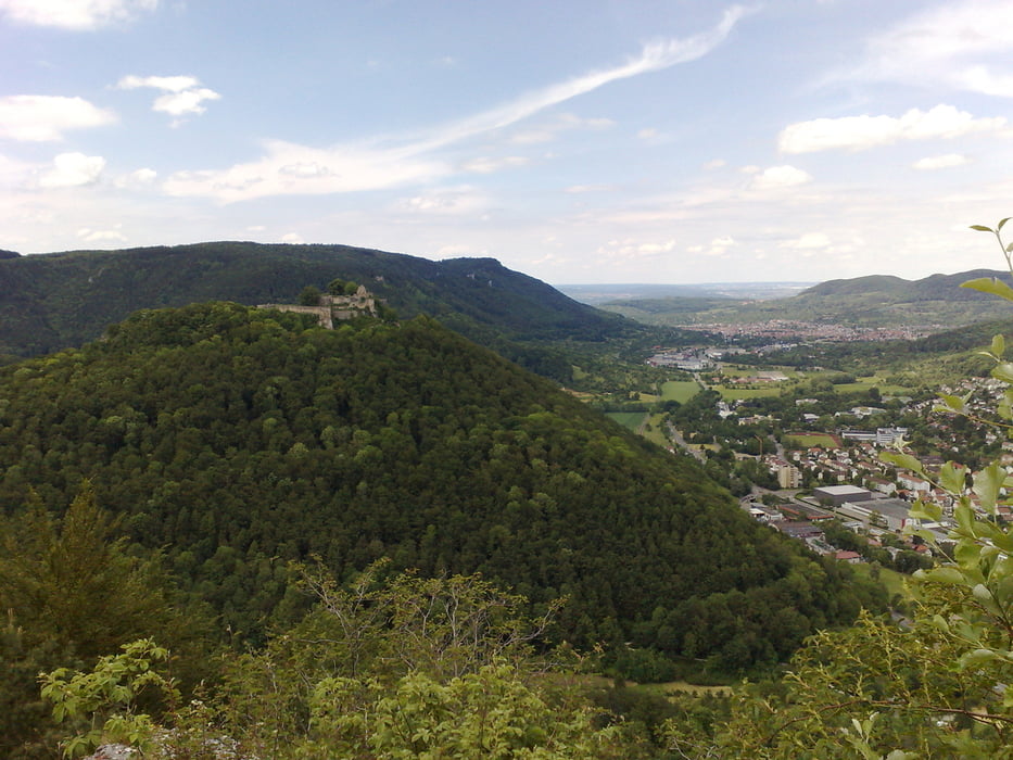
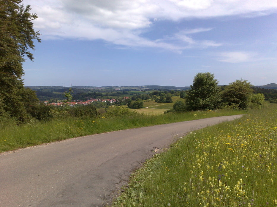
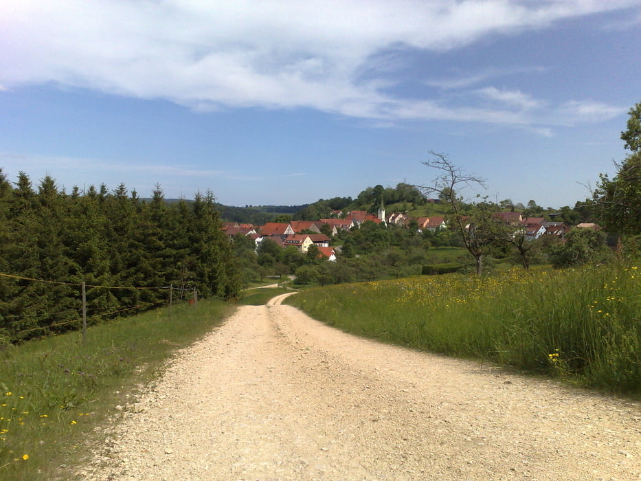
Münsingen - Trailfinger Schlucht - Seeburg - Hohenwittlingen - Kunstmühlefels - Michelskäppele - Bad Urach - Maisental - Ziegelsteige - Hanner Felsen - Sirchingen - Blasenberg - Guckenberg - Rietheim - Münsingen

Galeria trasy

Mapa trasy i profil wysokości

  • Open Street Map
  • Google
Minimum height 441 m Maximum height 867 m Widok szczegółowy

More about the tour author

fieselschweif
Member since 2009

Send private message

Komentarze

Kostenlose Parkmöglichkeit am Bahnhof Münsingen.

GPS tracks

Trackpoints
  • GPX / Garmin Map Source (gpx) download
  • TCX / Garmin Training Center® (tcx) download
  • CRS / Garmin Training Center® (crs) download
  • Google Earth (kml) download
  • G7ToWin (g7t) download
  • TTQV (trk) download
  • Overlay (ovl) download
  • Fugawi (txt) download
  • Kompass (DAV) Track (tk) download
  • Karta trasy (pdf) download
  • Original file of the author (gpx) download

More about the tour author

fieselschweif
Member since 2009

Send private message
Share track
Add to my favorites
Remove from my favorites
Edit tags
My score
Rate
Trasa: MTB-Tour rund um das obere Ermstal mit Start/Ziel in Münsingen
Rodzaj: Rower górski (MTB)
Długość: 50,8 km
Evaluated on:
Czas trwania:
Day(s)
Hour(s)
Minute(s)
Ocena: Krajobraz Czynnik zadowolenia Kondycja Technika