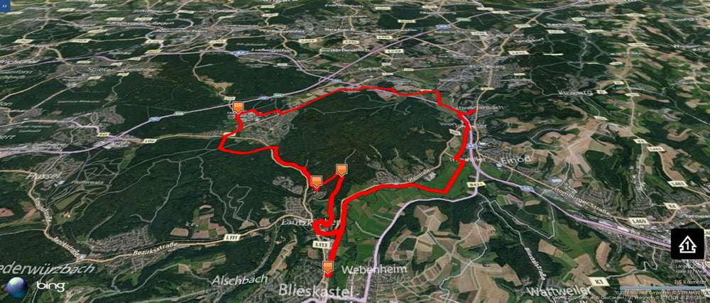
Weil ich langsam Bedenken habe dass mir die Wege im östlichen Kirkeler Wald ausgehen könnten schwenkte ich diesmal kurz in den westlichen Kirkeler Wald hinein um dann noch einen kleinen Anstieg im östlichen Teildranzuhängen.
In Blieskastel versorgte ich mich dann.
Further information at
https://de.wikipedia.org/wiki/BliesgauGaleria trasy
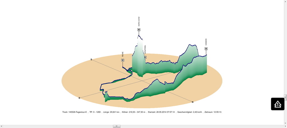
Mapa trasy i profil wysokości
Minimum height 217 m
Maximum height 348 m
Komentarze

In Schwarzenbach gehts los.
GPS tracks
Trackpoints-
GPX / Garmin Map Source (gpx) download
-
TCX / Garmin Training Center® (tcx) download
-
CRS / Garmin Training Center® (crs) download
-
Google Earth (kml) download
-
G7ToWin (g7t) download
-
TTQV (trk) download
-
Overlay (ovl) download
-
Fugawi (txt) download
-
Kompass (DAV) Track (tk) download
-
Karta trasy (pdf) download
-
Original file of the author (gpx) download
Add to my favorites
Remove from my favorites
Edit tags
Open track
My score
Rate


