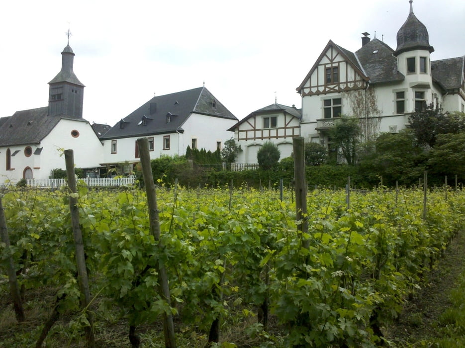
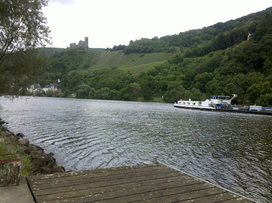
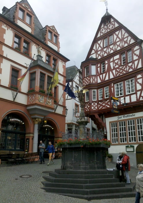
Vom Bahnhof Hetzerath geht es erst talwärts in den Ort, um dann in einer langen Steigung (ca. 3 km) den höchsten Punkt zu erreichen. Nach einer steilen Abfahrt (10% Gefälle) durch Außenbezirke von Klüsserath und der Überquerung der Mosel wird in Thörnich der Moselradweg erreicht. Entlang der Mosel auf guten Radwegen bzw. Mehrzweckspuren an befahrenen Straßen geht es durch viele schöne Orte. In Bernkastel-Kues lohnt sich in jedem Fall ein Gang durch die Fußgängerzone. In Traben-Trabach verlasse ich den Radweg und erreiche den Bahnhof.
Galeria trasy
Mapa trasy i profil wysokości
Minimum height 105 m
Maximum height 263 m
Komentarze

GPS tracks
Trackpoints-
GPX / Garmin Map Source (gpx) download
-
TCX / Garmin Training Center® (tcx) download
-
CRS / Garmin Training Center® (crs) download
-
Google Earth (kml) download
-
G7ToWin (g7t) download
-
TTQV (trk) download
-
Overlay (ovl) download
-
Fugawi (txt) download
-
Kompass (DAV) Track (tk) download
-
Karta trasy (pdf) download
-
Original file of the author (gpx) download
Add to my favorites
Remove from my favorites
Edit tags
Open track
My score
Rate


