


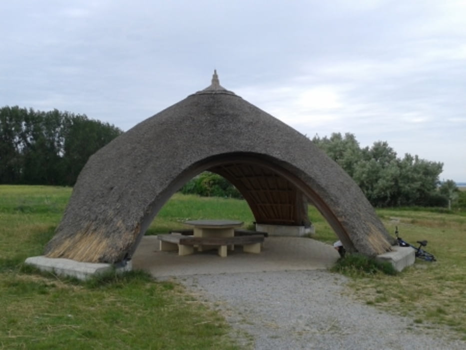
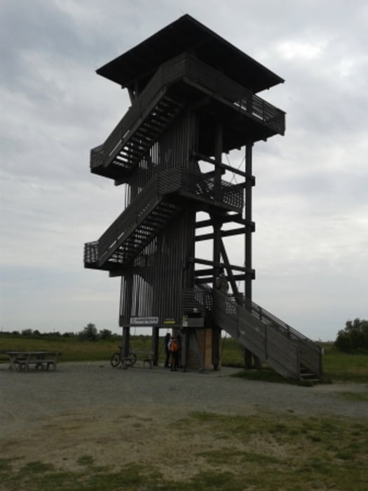
illmitz info center - richtung podersdorf - einen abstecher zur zicklacke - weiter richtung podersdorf - links vorbei am unteren stinkersee - zum oberen stinkersee - ein kurzer abstecher zu jupps magalitzi schweinen - dann richtung osten zum georgskreuz - zur birnbaumlacke - zur standlacke - kühbrunnlacke - vorbei an der auerlacke - am zicksee eine größer pause eingelegt (gasthaus seeblick) - südliche der langen lacke entlang - illmitz
Galeria trasy


Mapa trasy i profil wysokości
Minimum height 112 m
Maximum height 132 m
More about the tour author
|
|
der_Bergverfuehrer |
Komentarze

von wien a4 abfahrt podersdorf
GPS tracks
Trackpoints-
GPX / Garmin Map Source (gpx) download
-
TCX / Garmin Training Center® (tcx) download
-
CRS / Garmin Training Center® (crs) download
-
Google Earth (kml) download
-
G7ToWin (g7t) download
-
TTQV (trk) download
-
Overlay (ovl) download
-
Fugawi (txt) download
-
Kompass (DAV) Track (tk) download
-
Karta trasy (pdf) download
-
Original file of the author (gpx) download
More about the tour author
|
|
der_Bergverfuehrer |
Add to my favorites
Remove from my favorites
Edit tags
Open track
My score
Rate