


Wanderung zu den Sehenswürdigkeit von und bei Homburg.
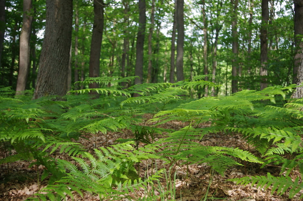
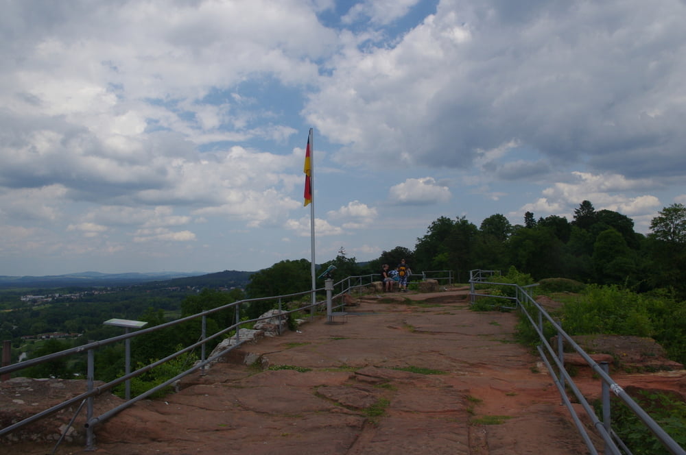
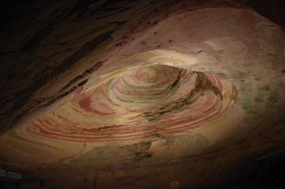
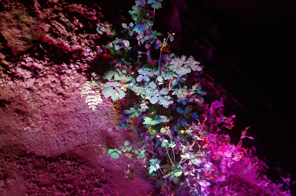
Von Schwarzenbach durch den Wald bis ich nach An- und Abstiegen auf die Schlossbergtour traf der ich partiell folgte. Ich besuchte den Weiher und den Stumpfen Gipfel. Danach erreichte ich die Burganlage und die Schlossberghöhle.
Die Besichtigung der Ruine und der Höhle ist nur zu empfehlen.
Den Rückweg nahm ich wieder durch den Wald und den letzten Hügel vor Schwarzenbach.
Tolle Wanderung für Leute die auch mal Spass an Steigungen und Gefälle haben.
Further information at
http://www.homburg.de/content/pages/1275.htmGaleria trasy
Mapa trasy i profil wysokości
Minimum height 244 m
Maximum height 351 m
More about the tour author
|
|
Pheinz |
Komentarze

In Schwarzenbach geht es los.
GPS tracks
Trackpoints-
GPX / Garmin Map Source (gpx) download
-
TCX / Garmin Training Center® (tcx) download
-
CRS / Garmin Training Center® (crs) download
-
Google Earth (kml) download
-
G7ToWin (g7t) download
-
TTQV (trk) download
-
Overlay (ovl) download
-
Fugawi (txt) download
-
Kompass (DAV) Track (tk) download
-
Karta trasy (pdf) download
-
Original file of the author (gpx) download
More about the tour author
|
|
Pheinz |
Add to my favorites
Remove from my favorites
Edit tags
Open track
My score
Rate