Login

Zapomniałeś swój login?

Cookies have to be accepted!
Your browser's cookie functionality is disabled. Please enable this functionality.

Not a member yet?

Register now
Login

Available for registred users only

Log in to use this feature.

Zapomniałeś swój login?

Cookies have to be accepted!
Your browser's cookie functionality is disabled. Please enable this functionality.

Not a member yet?

Register now
Filter
Kategorie
Advanced filters
  • Długość (km)
  • Wysokość
Zapisz filtr Reset filter

TrackRank

QRCode

Technical data

Długość43,7 km Wysokość665 m Way down606 m Czas trwania03:00 h:m Data02.06.2014
Oceny Author Krajobraz Czynnik zadowolenia Kondycja Technika

Statystyka

371 Widoki Oceny 46 Downloads / Pliki do pobrania Przeciętnie
Rate
  • Karta trasy
  • Dojazd
  • Downloads / Pliki do pobrania

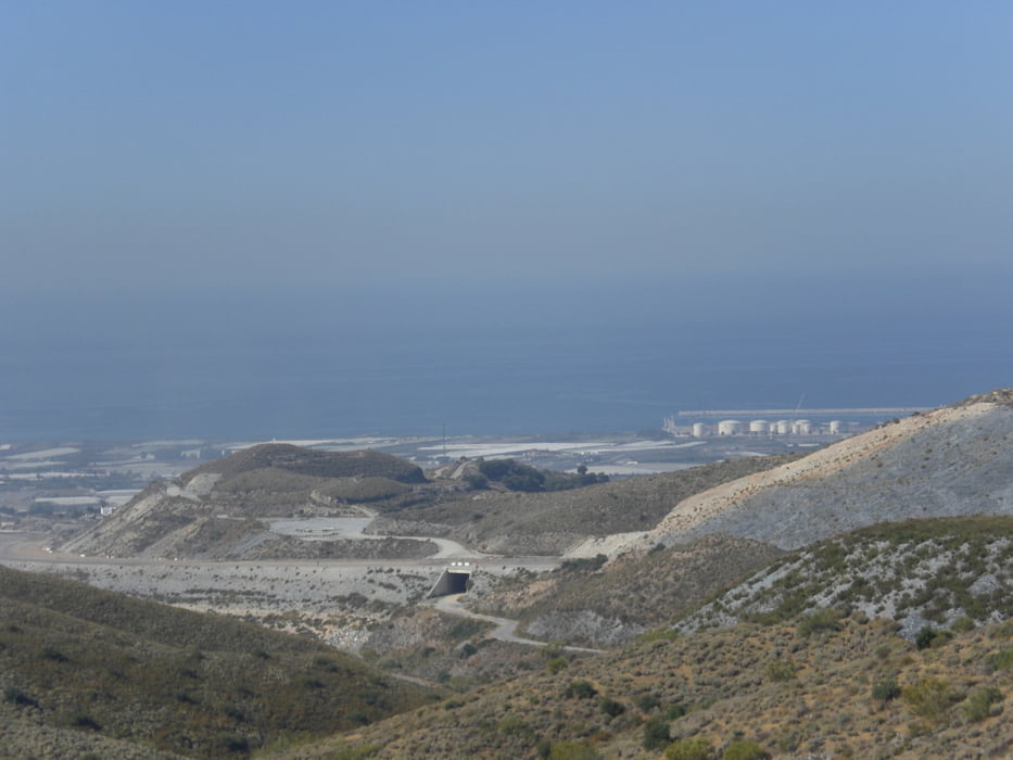
vom Robinson Club fahren wir bis Motril und dann machen wir einen kleinen Abstecher unter der neuen Autobahnbrücke hindurch hinauf auf den Berg, um  verschiedene Singletrails zu suchen und hinabzufahren. 3 mal den Berg hoch und 3 mal auf verschiedenen Trails bergab. Nicht schwierig (S1). Habe für die Tour einen Guide vom Robinson Club dabeigehabt.


Galeria trasy

Mapa trasy i profil wysokości

  • Open Street Map
  • Google
Minimum height -45 m Maximum height 387 m Widok szczegółowy

More about the tour author

Fruehaufsteher
Member since 2008

Send private message

Komentarze

GPS tracks

Trackpoints
  • GPX / Garmin Map Source (gpx) download
  • TCX / Garmin Training Center® (tcx) download
  • CRS / Garmin Training Center® (crs) download
  • Google Earth (kml) download
  • G7ToWin (g7t) download
  • TTQV (trk) download
  • Overlay (ovl) download
  • Fugawi (txt) download
  • Kompass (DAV) Track (tk) download
  • Karta trasy (pdf) download
  • Original file of the author (gpx) download

More about the tour author

Fruehaufsteher
Member since 2008

Send private message
Share track
Add to my favorites
Remove from my favorites
Edit tags
My score
Rate
Trasa: Motril - RobinsonClub MTB-Tour
Rodzaj: Rower górski (MTB)
Długość: 43,7 km
Evaluated on:
Czas trwania:
Day(s)
Hour(s)
Minute(s)
Ocena: Krajobraz Czynnik zadowolenia Kondycja Technika