


Die Tour startet ganz in der Nähe von der Hohemark wo auch Kostenpflichtige Parkplätze sind. Die Tour führt euch am Altkönig und Fuchstanz vorbei ins Reichenbachtal bis hinter die Hügel wo es dann Richtung Oberreifenberg zum Großen Feldberg und Sandplacken geht, auf dem Limesweg Richtung Herzberg zurück zur Hohemark. Ich wünsche euch Viel Spaß..Ich war 4 Stunden unterwegs allerdings im Wettkampfmodus, diese Tour im Normalmodus mit Einkehr sollte schon 6 Stunden beanspruchen..
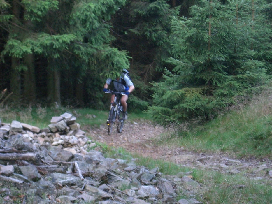
Galeria trasy
Mapa trasy i profil wysokości
Minimum height 305 m
Maximum height 854 m
More about the tour author

|
Thomas0107 |
Komentarze

Je nach dem wo man herkommt über die A661 Abfahrt Oberursel / Hohemark
GPS tracks
Trackpoints-
GPX / Garmin Map Source (gpx) download
-
TCX / Garmin Training Center® (tcx) download
-
CRS / Garmin Training Center® (crs) download
-
Google Earth (kml) download
-
G7ToWin (g7t) download
-
TTQV (trk) download
-
Overlay (ovl) download
-
Fugawi (txt) download
-
Kompass (DAV) Track (tk) download
-
Karta trasy (pdf) download
-
Original file of the author (gpx) download
More about the tour author
|
|
Thomas0107 |
Add to my favorites
Remove from my favorites
Edit tags
Open track
My score
Rate