


Diese Radtour weist wieder das typische Saarlandprofil meiner "Ich habe Lust zu radeln" Radtouren hier auf. Es beginnt mit fröhlichem Auf- und Ab im Kirkeler Wald. Der Schluss ist dann meist flacher und ich freue mich über den Speed in der Ebene.
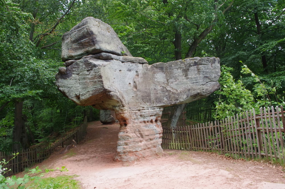
An diesem Tag nahm ich also wieder Forstwege und Pfade durch den Kirkeler Wald bis mich ein langer Anstieg zum Stiefelfelsen hochbrachte. Toller Ort. Es folgte die Abfahrt und der Rückweg über Oberwürzbach, Niederwürzbach und Lautzkirchen bis nach Schwarzenbach.
Tolle Rund die teilweise Fahrgeschick und auch rohe Kraft erfordert.
Further information at
http://www.de-schdiwwel.de/stiefel-felsen.htmGaleria trasy


Mapa trasy i profil wysokości
Minimum height 217 m
Maximum height 378 m
More about the tour author
|
|
Pheinz |
Komentarze

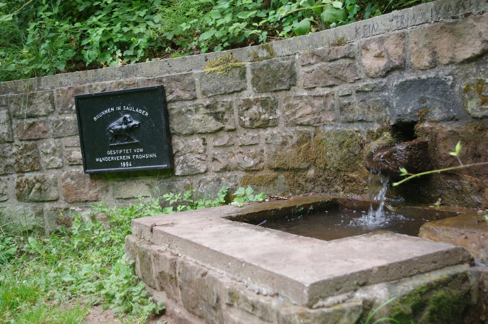
In Schwarzenbach geht es los.
GPS tracks
Trackpoints-
GPX / Garmin Map Source (gpx) download
-
TCX / Garmin Training Center® (tcx) download
-
CRS / Garmin Training Center® (crs) download
-
Google Earth (kml) download
-
G7ToWin (g7t) download
-
TTQV (trk) download
-
Overlay (ovl) download
-
Fugawi (txt) download
-
Kompass (DAV) Track (tk) download
-
Karta trasy (pdf) download
-
Original file of the author (gpx) download
More about the tour author
|
|
Pheinz |
Add to my favorites
Remove from my favorites
Edit tags
Open track
My score
Rate