
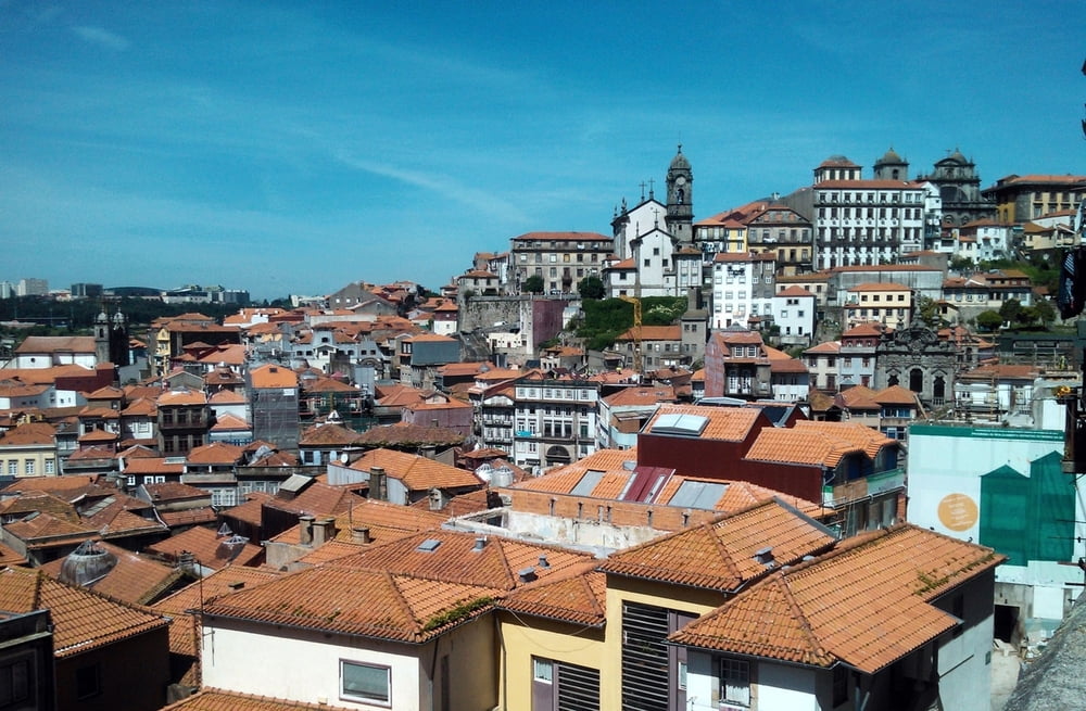

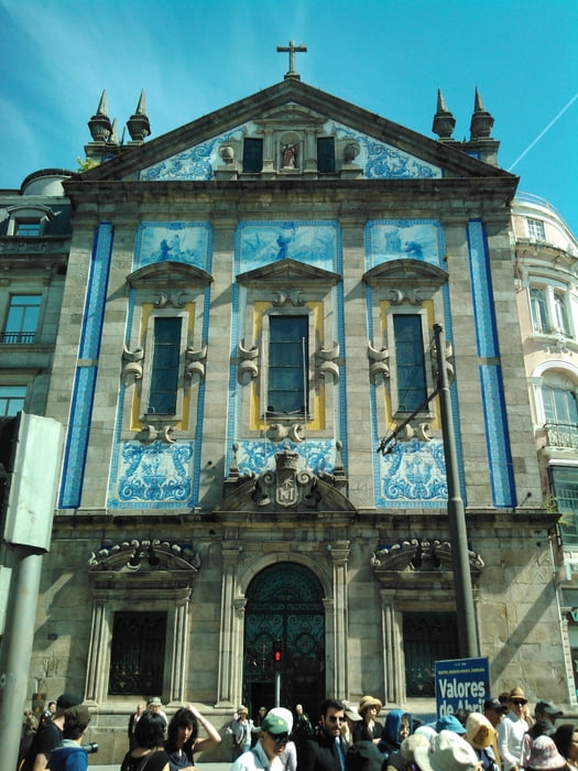
Jakobsweg von Porto nach Santiago und weiter nach Finisterre.
Start in Porto mit einem Gottesdienst in der Kathedrale.
Folgende Tagesetappen:
1. Tag: Porto - Lavra
2. Tag: Lavra - über Villa do Conde - Rates
3. Tag: Rates - Barcelos
4. Tag: Barcelos - Navia
5. Tag: Navia - Ponte de Lima
6. Tag: Ponte de Lima - Cerdal
7. Tag: Cerdal - Porrino
8. Tag: Porrino - Pontevedra
9. Tag: Pontevedra - Cruceiro
10. Tag: Cruceiro - Teo
11. Tag: Teo - Santiago
12. Tag: Santiago - Negreira
13. Tag: Negreira - Olveiroa
14. Tag: Olveiroa - Fisterra (Cape Finisterra)
Rückfahrt mit dem Bus nach Porto und Heimflug mit Ryanair nach Memmingen
Galeria trasy


Mapa trasy i profil wysokości
Minimum height 1 m
Maximum height 438 m
More about the tour author

|
eugenio |
Komentarze

Flug mit Ryanair von Memmingen nach Porto
GPS tracks
Trackpoints-
GPX / Garmin Map Source (gpx) download
-
TCX / Garmin Training Center® (tcx) download
-
CRS / Garmin Training Center® (crs) download
-
Google Earth (kml) download
-
G7ToWin (g7t) download
-
TTQV (trk) download
-
Overlay (ovl) download
-
Fugawi (txt) download
-
Kompass (DAV) Track (tk) download
-
Karta trasy (pdf) download
-
Original file of the author (gpx) download
More about the tour author
|
|
eugenio |
Add to my favorites
Remove from my favorites
Edit tags
Open track
My score
Rate