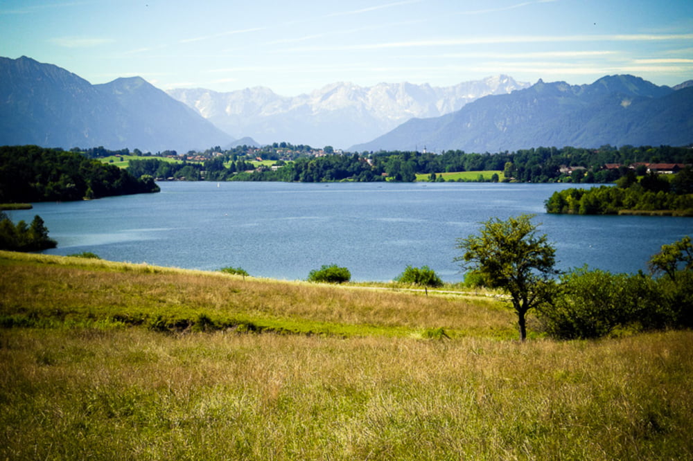
Sehr schöne Tour auf kleinen Strassen/Wegen mit fast durchgehend schönem Panorama.
Eigentliche Tour nur ab/bis Weilheim. Deswegen dort auch das "Gekringel" im Track (haben dort die beste Eisdiele gesucht). Dann wären es 73km/600hm.
Kaufering/Weilheim war nur der Zubringer...
Galeria trasy
Mapa trasy i profil wysokości
Minimum height 553 m
Maximum height 757 m
Komentarze

GPS tracks
Trackpoints-
GPX / Garmin Map Source (gpx) download
-
TCX / Garmin Training Center® (tcx) download
-
CRS / Garmin Training Center® (crs) download
-
Google Earth (kml) download
-
G7ToWin (g7t) download
-
TTQV (trk) download
-
Overlay (ovl) download
-
Fugawi (txt) download
-
Kompass (DAV) Track (tk) download
-
Karta trasy (pdf) download
-
Original file of the author (gpx) download
Add to my favorites
Remove from my favorites
Edit tags
Open track
My score
Rate


