
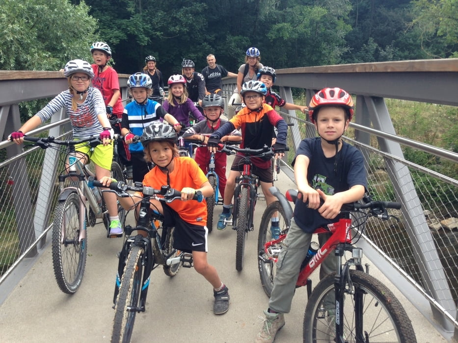

Schöne Tour, mit einem Trail, der leider zu schwer ist für Kids, aber vielleicht bei trockenem Untergrund gut fahrbar.
Further information at
http://tv-grosssachsenheim.de/cms/iwebs/default.aspx?mmid=7798&smid=27715#132515Galeria trasy

Mapa trasy i profil wysokości
Minimum height 185 m
Maximum height 323 m
More about the tour author
|
|
Johi1 |
Komentarze

Fundus Sachsenheim - Egartenhof (Ruine) - Untermberg - Bissingen- Rotenacker Wald - Trail - Hütte mit Grillplatz an der Enz - Enzweg Richtung Unterriexingen - Brück Unterriexingen über die Enz - Richtung Bissingen Enztalradweg bis kurz vor bissinger Fischerhütte - Berg hoch Richtung Untermberg - Sachsenheim Fundus
GPS tracks
Trackpoints-
GPX / Garmin Map Source (gpx) download
-
TCX / Garmin Training Center® (tcx) download
-
CRS / Garmin Training Center® (crs) download
-
Google Earth (kml) download
-
G7ToWin (g7t) download
-
TTQV (trk) download
-
Overlay (ovl) download
-
Fugawi (txt) download
-
Kompass (DAV) Track (tk) download
-
Karta trasy (pdf) download
-
Original file of the author (gpx) download
More about the tour author
|
|
Johi1 |
Add to my favorites
Remove from my favorites
Edit tags
Open track
My score
Rate