


Startpunkt:
Kohlmaisbahn Sallbach
Endpunkt
Kohlmaisbahn Saalbach
Tourenbeschreibung:
Auffahrt mit der Kohlmaisgipfelbahn - über Wurzeltrail Richtung Schönleitenhütte - weiter Richtung Asitzkopf - Asitzkopf Bergstation auf Schotter Richtung Mittelstation (alternativ Hangman I) - Trail Hangman II bis Asitzkopfbahn Talstation (Bikepark Leogang)
Auffahrt Asitzgipfelbahn - weiter Richtung Asitzkopf, auf halber Höhe rechts in Trail zurück Richtung Schönleitenhütte - auf Wurzeltrail zurück Richtung Kohlmais - auf halber Strecke ca links durch Waldstück und dann Schotter Richtung Kohlmaisbahn Mittelstation - Milka-Line nach Saalbach zurück
Auffahrt mit Schattberg X Press auf Schattberg Ost Gipfel - Einstieg in X-Line Trail - bei Weggabelung links auf Schotter steil Richtung Schattberg West Gipfel bis Bergstation Westgipfelbahn - Einstieg in Hacklbergtrail - über Hacklbergalm weiter bis Bergstadl Alm und bis zur Talstation Zwölferkogelbahn (leider geschlossen, ansonsten mit Zwölferkogelbahn I hoch und über Z - Line wieder zurück)
Auffahrt mit Reiterkogelbahn und über Blue Line oder Pro Line zurück nach Hinterglemm und dann wieder zurück nach Saalbach!!
Angegebene Dauer ohne Z - Line dafür incl. 1h Mittagspause!
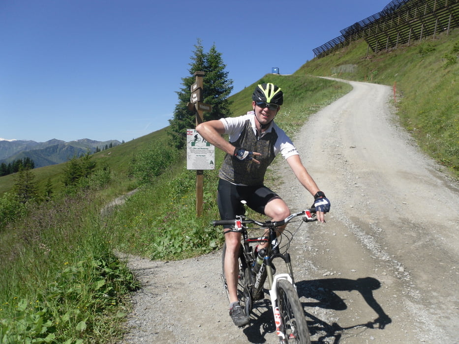
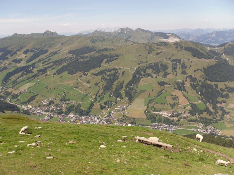
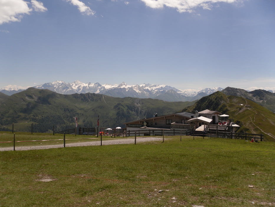
Galeria trasy
Mapa trasy i profil wysokości
Minimum height 853 m
Maximum height 2078 m
More about the tour author
|
|
schmidt-markus1 |
Komentarze

GPS tracks
Trackpoints-
GPX / Garmin Map Source (gpx) download
-
TCX / Garmin Training Center® (tcx) download
-
CRS / Garmin Training Center® (crs) download
-
Google Earth (kml) download
-
G7ToWin (g7t) download
-
TTQV (trk) download
-
Overlay (ovl) download
-
Fugawi (txt) download
-
Kompass (DAV) Track (tk) download
-
Karta trasy (pdf) download
-
Original file of the author (gpx) download
More about the tour author
|
|
schmidt-markus1 |
Add to my favorites
Remove from my favorites
Edit tags
Open track
My score
Rate