Login

Zapomniałeś swój login?

Cookies have to be accepted!
Your browser's cookie functionality is disabled. Please enable this functionality.

Not a member yet?

Register now
Login

Available for registred users only

Log in to use this feature.

Zapomniałeś swój login?

Cookies have to be accepted!
Your browser's cookie functionality is disabled. Please enable this functionality.

Not a member yet?

Register now
Filter
Kategorie
Advanced filters
  • Długość (km)
  • Wysokość
Zapisz filtr Reset filter

TrackRank

QRCode

Technical data

Długość38,0 km Wysokość2017 m Way down1053 m Czas trwania00:00 h:m Data21.07.2014
Oceny Author Krajobraz Czynnik zadowolenia Kondycja Technika

Statystyka

242 Widoki Oceny 58 Downloads / Pliki do pobrania Przeciętnie
Rate
  • Karta trasy
  • Dojazd
  • Downloads / Pliki do pobrania

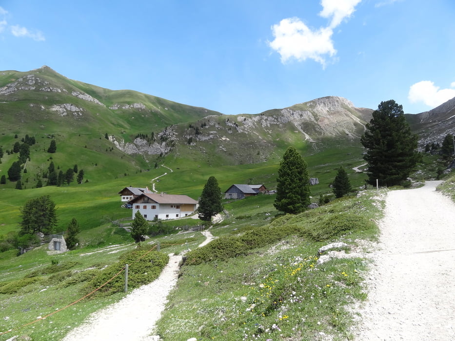
Die Tour beginnt in Klausen und geht dann über Gufidaun in das Villnößtal. Großteils alles Asphaltstraße. Erst bei St Maddalena beginnt die Schotterstraße.

Hier geht es dann weiter über die Zanser Alm zur Gampenhütte und dann ein steiler Aufstieg zur Schlütterhütte (wo es einen super Cappuccino gibt). Von der Schlütterhütte hinunter nach Campil.


Galeria trasy

Mapa trasy i profil wysokości

  • Open Street Map
  • Google
Minimum height 475 m Maximum height 2346 m Widok szczegółowy

More about the tour author

Georg23
Member since 2010

Send private message

Komentarze

GPS tracks

Trackpoints
  • GPX / Garmin Map Source (gpx) download
  • TCX / Garmin Training Center® (tcx) download
  • CRS / Garmin Training Center® (crs) download
  • Google Earth (kml) download
  • G7ToWin (g7t) download
  • TTQV (trk) download
  • Overlay (ovl) download
  • Fugawi (txt) download
  • Kompass (DAV) Track (tk) download
  • Karta trasy (pdf) download
  • Original file of the author (gpx) download

More about the tour author

Georg23
Member since 2010

Send private message
Share track
Add to my favorites
Remove from my favorites
Edit tags
My score
Rate
Trasa: von Klausen zur Schluterhütte
Rodzaj: Rower górski (MTB)
Długość: 38,0 km
Evaluated on:
Czas trwania:
Day(s)
Hour(s)
Minute(s)
Ocena: Krajobraz Czynnik zadowolenia Kondycja Technika