


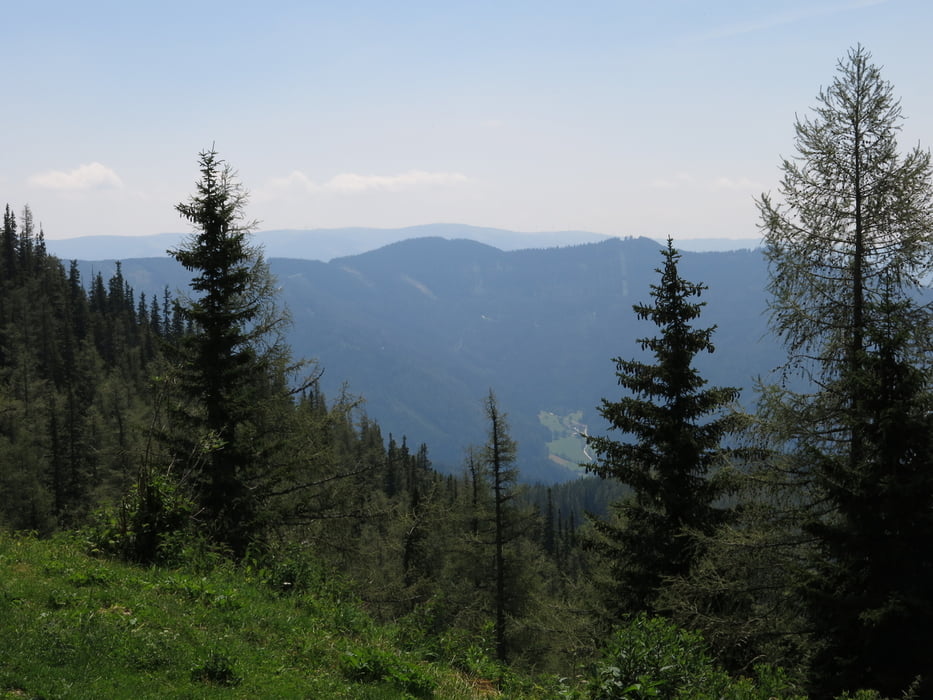
Über die Hohe Scheibe in den Raxengraben und über das GH Moassa auf die Heukuppe.
Von der Karreralm oberhalb von GH Moassa bis zum Gamseck ca. 360 hm Tragepassage. (Altenbergersteig). Von dort bis auf den Gipfel fahrend oder schiebend. Vorbei am Karl-Ludwighaus (Einkehrmöglichkeit) den Schlangenweg hinunter S0 - S1, teilweise ziemlich viel Geröll.
Vom Preiner Gscheid die Landesstraße nach Kapellen und danach den Radweg zum Ausgangspunkt.
Galeria trasy


Mapa trasy i profil wysokości
Minimum height 684 m
Maximum height 2003 m
More about the tour author

|
Obersteira |
Komentarze

Von Mürzzuschlag Richtung Mariazell gleich nach dem Ortsende bei einer markanten S-Kurve rechts in den Graben.
Parkmöglichkeit unweit über die Mürzbrücke.
GPS tracks
Trackpoints-
GPX / Garmin Map Source (gpx) download
-
TCX / Garmin Training Center® (tcx) download
-
CRS / Garmin Training Center® (crs) download
-
Google Earth (kml) download
-
G7ToWin (g7t) download
-
TTQV (trk) download
-
Overlay (ovl) download
-
Fugawi (txt) download
-
Kompass (DAV) Track (tk) download
-
Karta trasy (pdf) download
-
Original file of the author (gpx) download
More about the tour author
|
|
Obersteira |
Add to my favorites
Remove from my favorites
Edit tags
Open track
My score
Rate